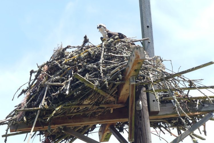
On a warm July morning Rosey and I crossed the bridge, picked up our parking pass, and headed north on NW Sauvie Island Road. The road parallels the Multnomah Slough and osprey nests spring up everywhere.
We were aiming for the Westside Unit of the Sauvie Island Wildlife area, which begins about eight miles north of the bridge. After crossing the Columbia County border and passing the “Entering Sauvie Island Wildlife Area” sign, we hit the first lake.
Steelman Lake
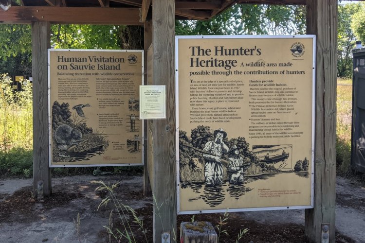
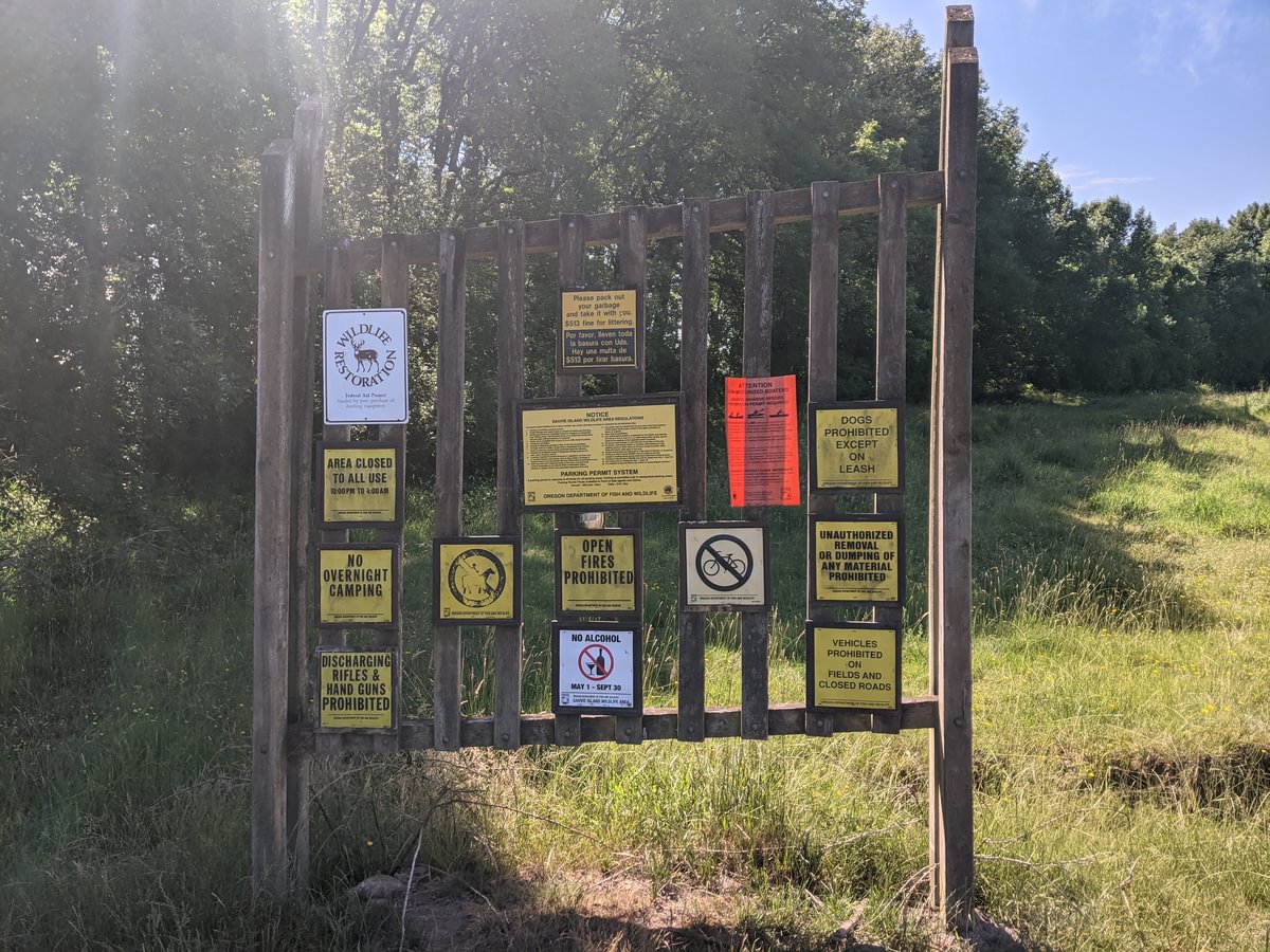
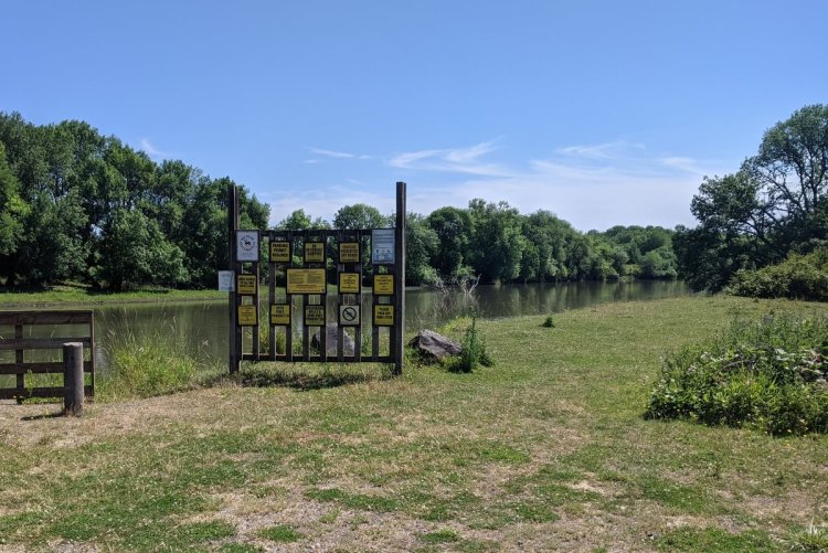
Steelman Lake has a small parking lot with an information kiosk sharing the history of Sauvie Island and the wildlife area.
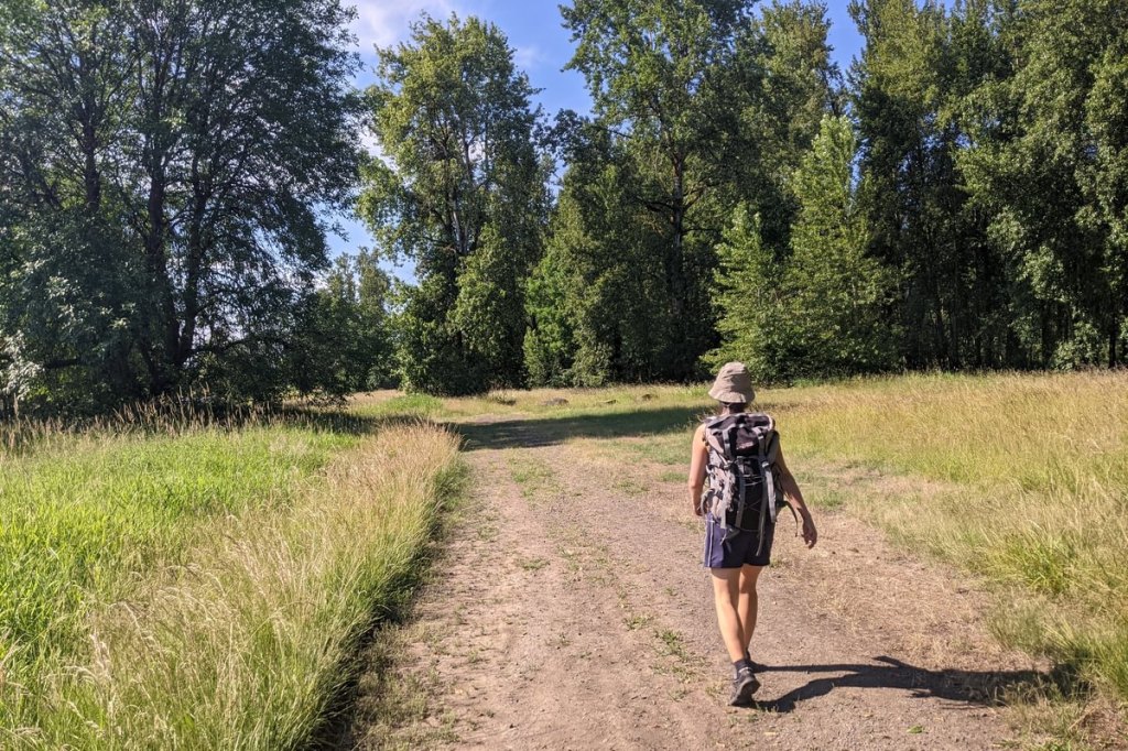
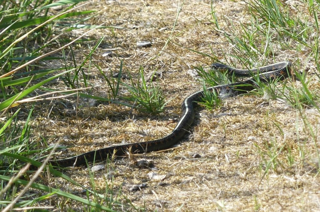
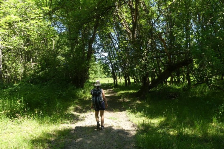
Rosey and I hiked up a 0.5 mile dirt road that cuts through meadow up the lake’s west side. We saw egrets, kestrels, butterflies, and a garter snake.
Mud Lake loop
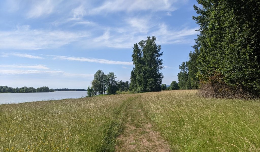
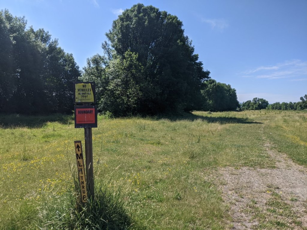
We proceeded another mile up the road and spotted the next Sauvie Island “rules sign” (on the maps this is just south of Round Lake). There is a marker next to a casual dirt path that can be followed for a 3-mile loop hike.
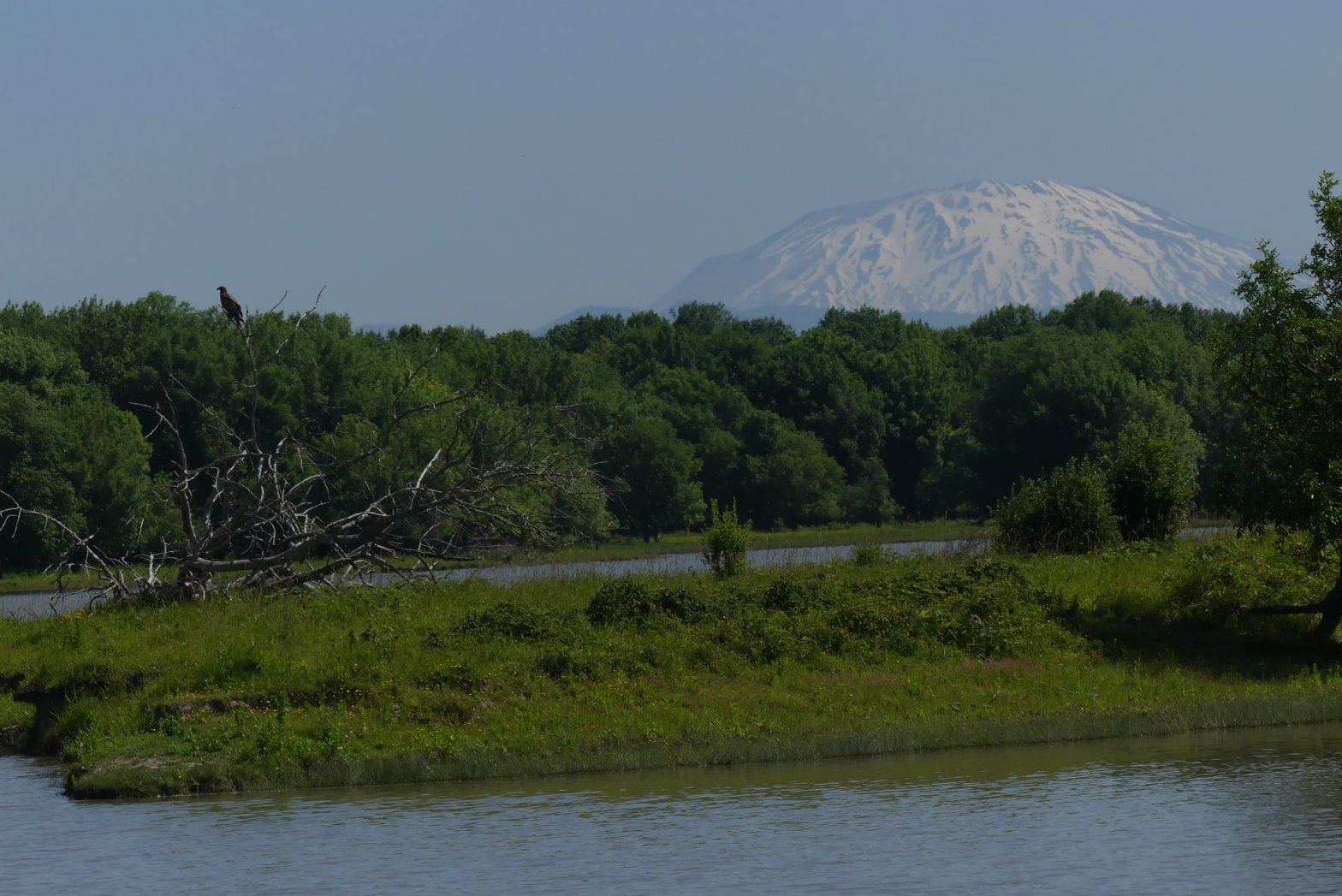
The path threaded between Mud Lake and the west arm of Sturgeon Lake, with open space to explore and hang out wherever we wished. Though a summer morning isn’t ideal for birdwatching, we saw several young eagles as well as herons, egrets, sandpipers, and a neat variety of songbirds.

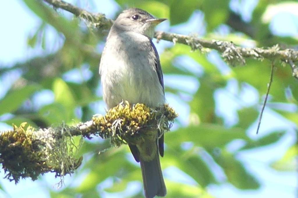
Western Wood-Pewee 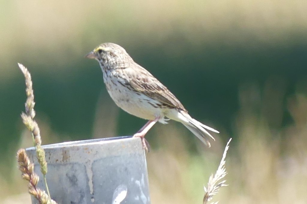
Savannah Sparrow 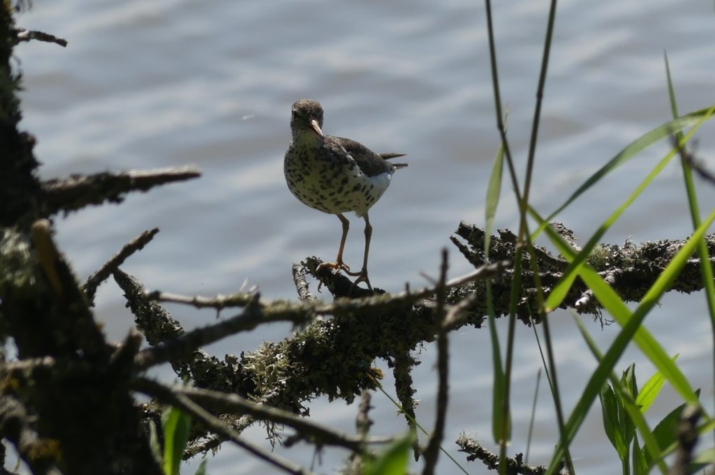
Spotted Sandpiper
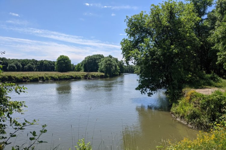
The trail turned to the north and threaded a thin rocky path between Mud Lake and the main body of Sturgeon Lake. It’s possible that this path is flooded during high water, though it was dry and easy to walk for us. After that came a pretty wooded section, and then we emerged at a fishing dock alongside the Gilbert River. The river is named after a French-Canadian trapper who drowned here in the early 1800s.
A dirt road then took us through another wooded stretch. Just before reaching the main road we saw a set of stations where retrieving dogs were being trained. We enjoyed the show as dogs retrieved catapulted practice ducks.
From the main road it was a quiet 0.7 mile walk back to where our car was parked.
Gilbert River
Driving another mile down the road to an intersection, we had two options. Going straight parallels the Multnomah Slough with Crane Lake on the other side. Turning to the right instead would take us again to the Gilbert River and an alternate trail to Domeyer Lake.
We turned right, driving about 0.8 miles to reach the Gilbert River. This beautiful riverside locale looked like a great spot for a picnic and perhaps fishing.
With the summer heat pressing in, we decided to call it a day.
This land access is possible due to the efforts and interests of duck hunters. It started with just 5 acres around Sturgeon Lake that was preserved in 1947 to protect waterfowl habitat. More habitat being added by the government over time, so that the Sauvie Island Wildlife Area now encompasses over 12,000 acres and is utilized by at least 275 species of birds including 150,000 waterfowl every winter. Over 7,000 hunters visit the wildlife area during the October 1 to April 15 season when the unit is closed to hikers.
Almost half of the public land in Columbia County is in the Sauvie Island Wildlife Area.
Sauvie Island Westside Unit at a glance
What: hiking, birdwatching, fishing, hunting
Where: From Highway 30, turn onto Sauvie Island Road to cross the Sauvie Island Bridge. Follow the road north 8.7 miles north to reach the Sauvie Island Wildlife Area (45.7348, -122.8425). From there the following destinations are possible:
C. 0.2 miles in is Steelman Lake (45.7363, -122.8388), with info kiosk and 0.5 miles of old road to walk along lakeside meadow
D. 0.8 miles in is Round Lake (45.7428, -122.8300), with a 3 mile loop trail (plus offshoots) that circles Mud Lake and then passes a fishing pier on Gilbert River before re-connecting to Sauvie Island Road. It’s not always possible to complete the loop during high water.
E. 1.5 miles in is the other end of the Mud Lake loop (45.7503, -122.8221). Turn right and go 0.7 miles to reach a small fishing pier on the Gilbert River (45.7433, -122.8154).
F. 2.2 miles in then turn right and proceed 0.8 miles to the Gilbert River (45.7545, -122.8091)

Hiking: Approximately five miles of trails and old roads around the lakes
Camping: none
Notable Wildlife: Waterfowl, wading birds, raptors, and songbirds
Property status: State of Oregon: Sauvie Island Wildlife Area
Website: Sauvie Island Wildlife Area: Visitor’s Guide
Sauvie Island Wildlife Area: Westside Unit Map
Sauvie Island Community Association
