A few weeks ago I learned about a short trail that commemorates “Four County Point” – the only place in Oregon where four counties meet in a single location. While the trail is a bit out of the way, it goes through some beautiful forest. Last week I finished a survey in Vernonia early and decided to make the side trip.
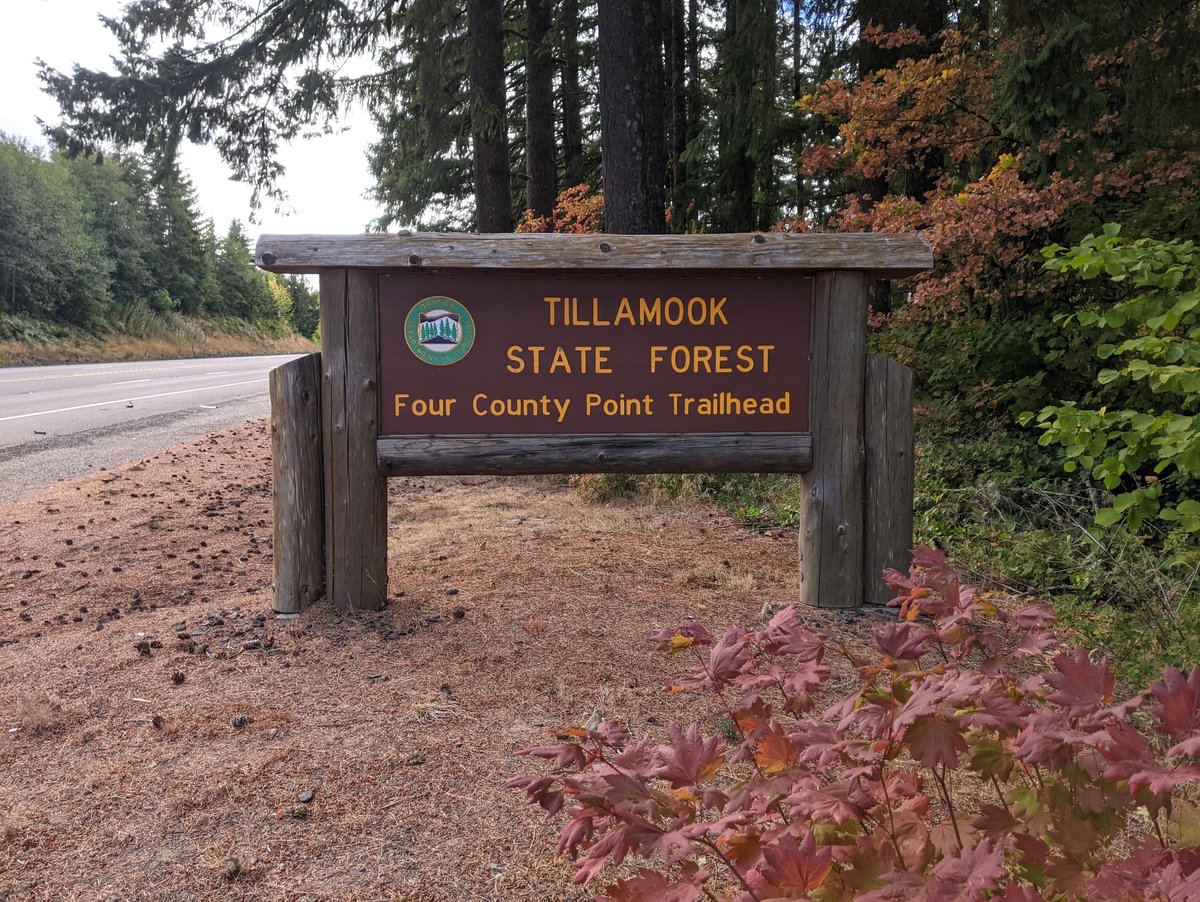
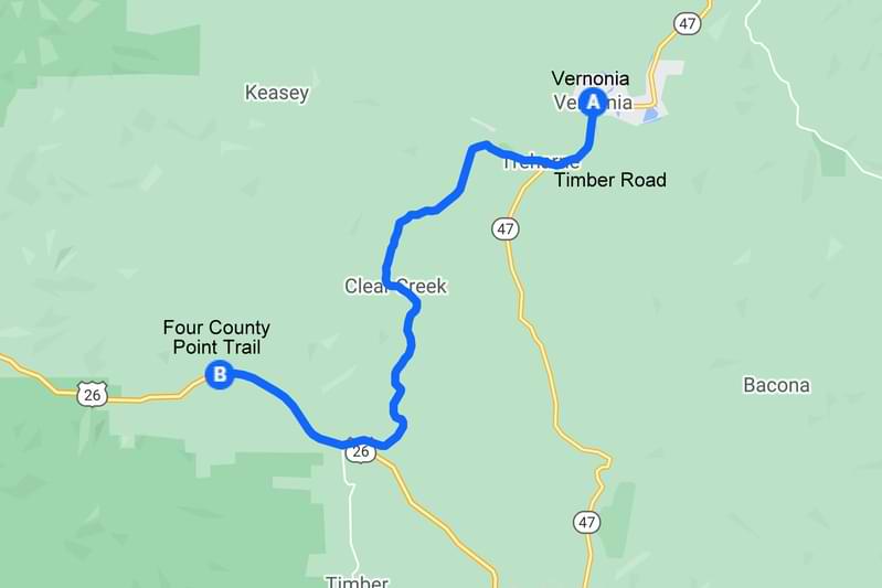
Four County Point Trail is just off of Highway 26, three miles west of Timber Road. You can see the sign easily from the highway.
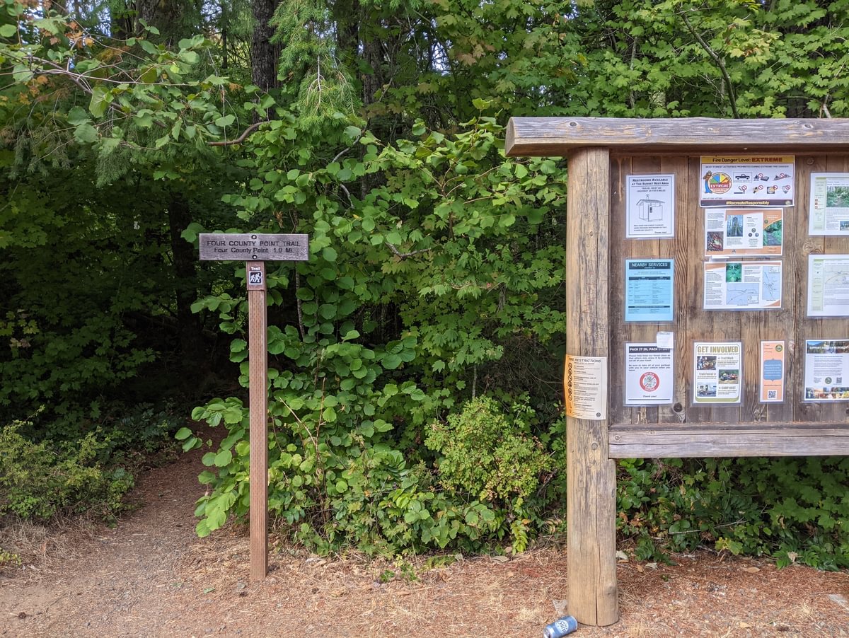
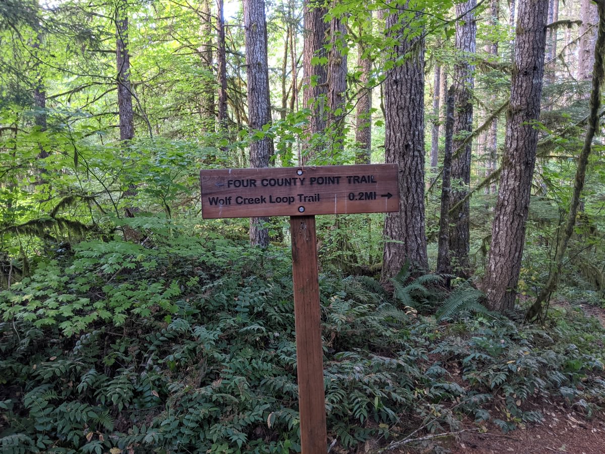
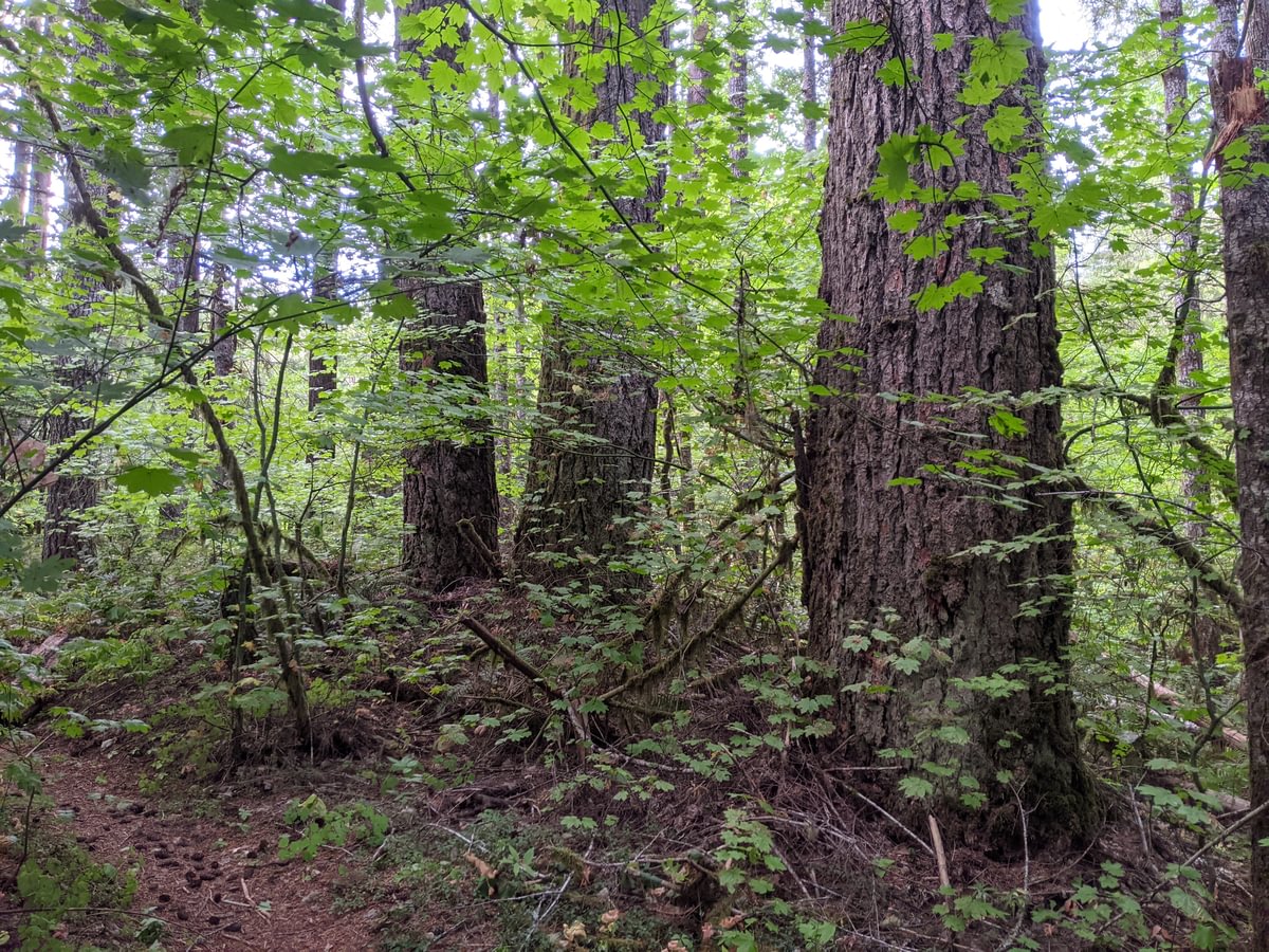
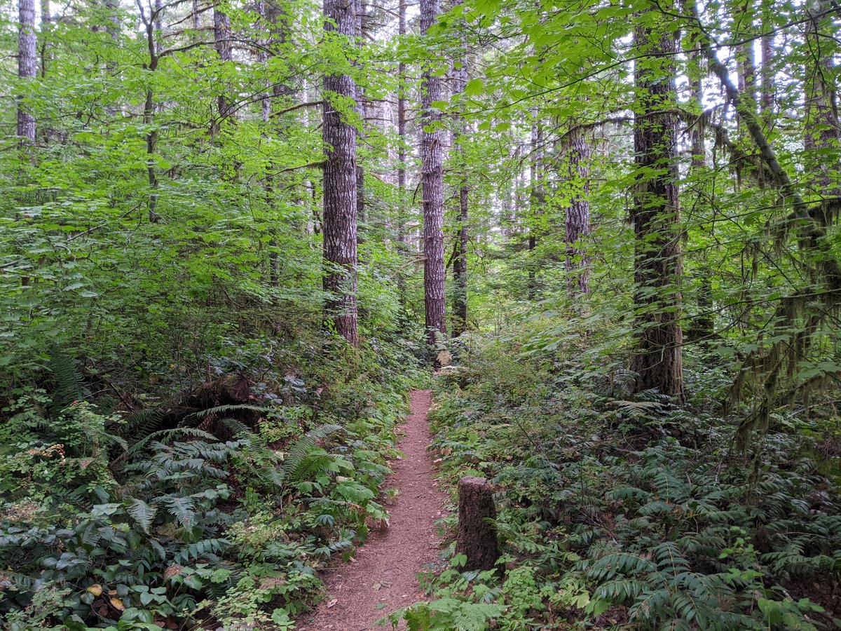
After entering the forest you reach a fork in the trail. Going to the right is a short loop that brings you to Wolf Creek while passing by some big old trees. Going to the left is a one-mile trail that reaches Four County Point itself.
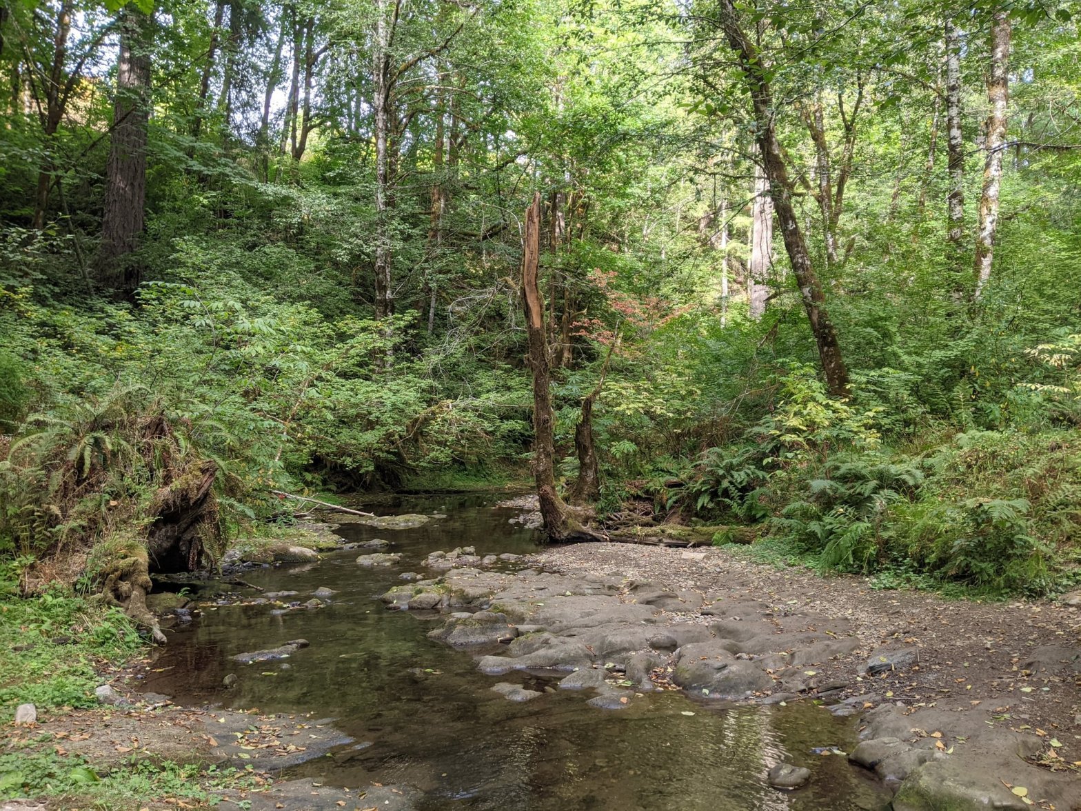
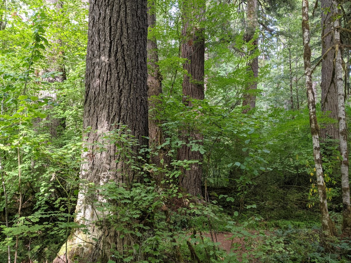
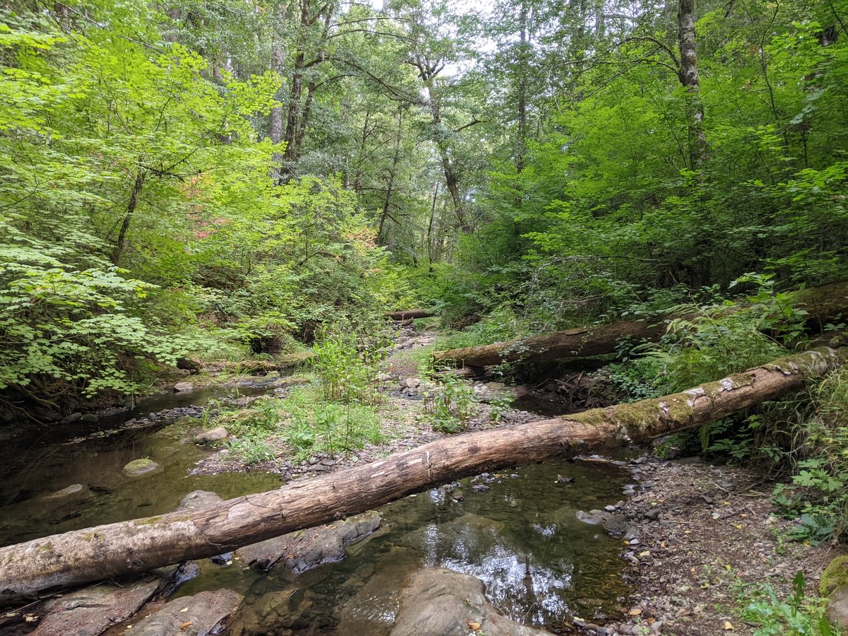
The little loop to Wolf Creek encircles a fantastic Douglas Fir grove. The trees are big! This is part of the Tillamook State Forest, one of the few patches of state forest in Columbia County, and that may be why it’s been allowed to grow up bigger than forest around here usually is. The creek is cool, clean, and full of sculpins.
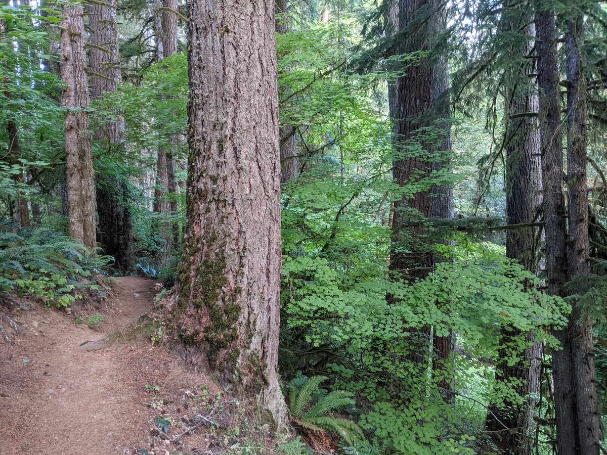
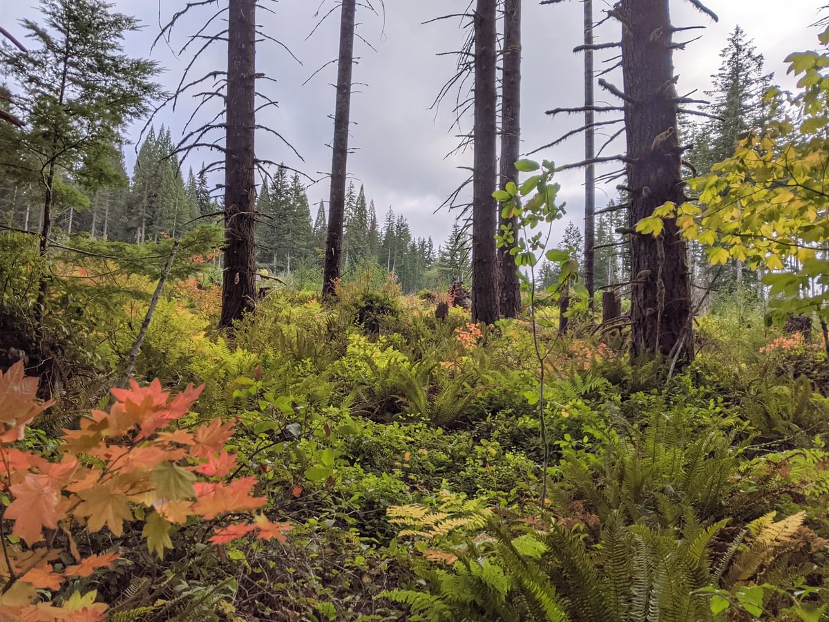
After exploring the creek I headed back around the loop and made my way towards Four County Point, walking on a mostly flat trail that stayed above the creek. As I walked the trees began to decrease in side, but the forest was still pleasant.
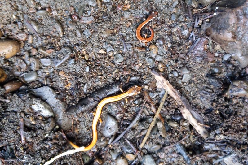
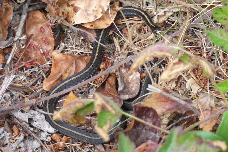
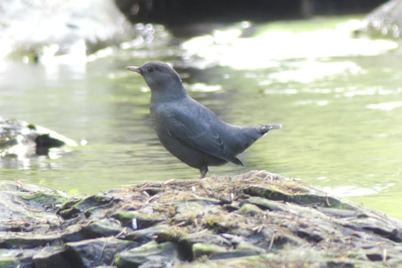
I wasn’t out there long but a few wild creatures did cross my path.

After a mile the trail stops just short of an old-ish clearcut. Fall colors were bright in the evening sun.
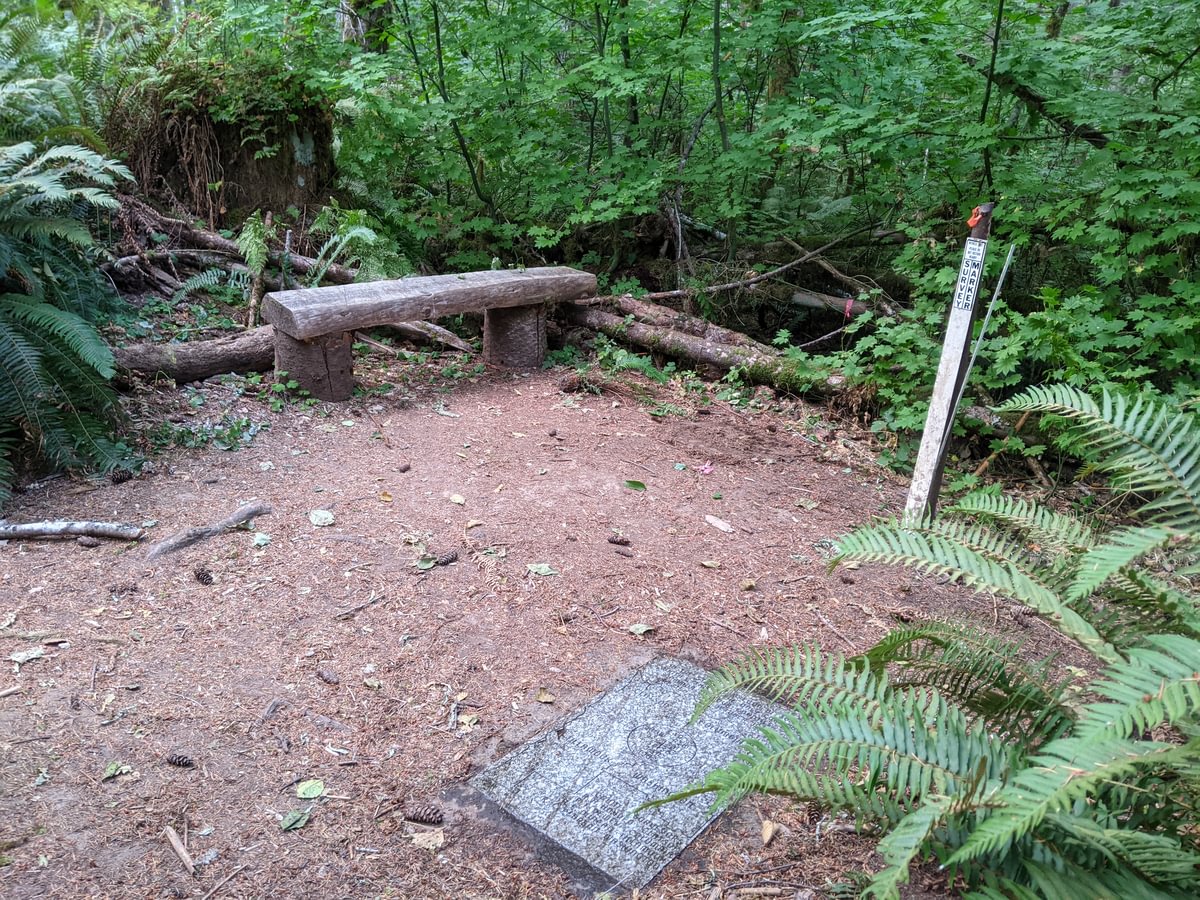
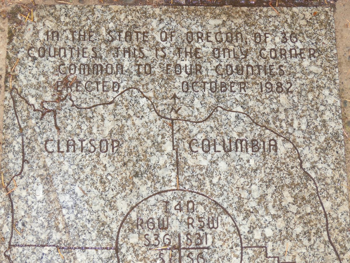
Here the trail takes a sharp turn to the left, and then you see the Four County Point, marked in stone and commemorated by four county surveyors in 1982. There’s a little bench to relax, and if you wish you can stand in the spot that puts you in Columbia County, Clatsop County, Tillamook County, and Columbia County simultaneously.
All in all it’s a short trail – hiking both directions and back still comes out to less than 2.5 miles. And it’s out of the way no matter where you live. But if you happen to be driving down Highway 26 and want to stretch your legs, or if you’re south of Vernonia and have some time to kill, it’s a pretty little patch of old trees and cool creek that’s worth at least one visit.
Four County Point Trail at a glance
What: hiking, geographic landmark
Where: From Vernonia drive 2 miles south on Highway 47 to Timber Road on the right. Take Timber Road 10 miles until it ends at Highway 26. Turn right and go 3.0 miles to reach your destination on the right side of the road.
If coming from Portland on Highway 26, the trail is 10.7 miles west of Highway 47.
Hiking: 2.0 miles out-and-back in one direction and a short 0.2 mile loop in the other direction
Camping: none
Notable Wildlife: American Dipper, sculpins, stream amphibians
Property status: Tillamook State Forest
Website: Oregon Hikers: Four County Point Hike
Tillamook Forest Center: Four County Point
Forest Hiker: Four County Point Trail
