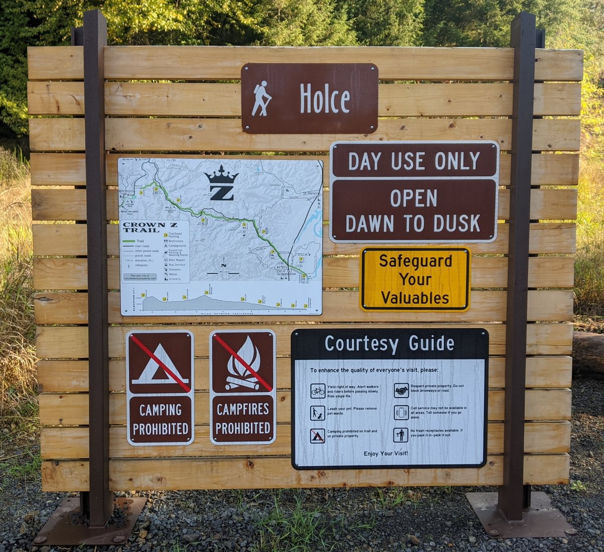
Matt and I got around to hiking the recently completed Holce-Wilark leg of the Crown Z Trail, now that the route negotiation is complete and active logging near the Holce end has finished. The terminal trailhead is signed and connects through to Banks-Vernonia Trail via city streets. It is a beautiful conclusion to a great trail.
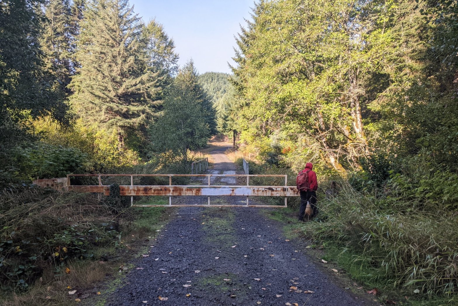
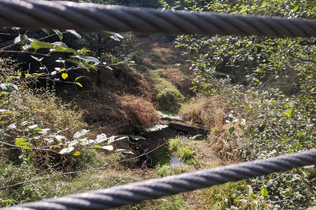
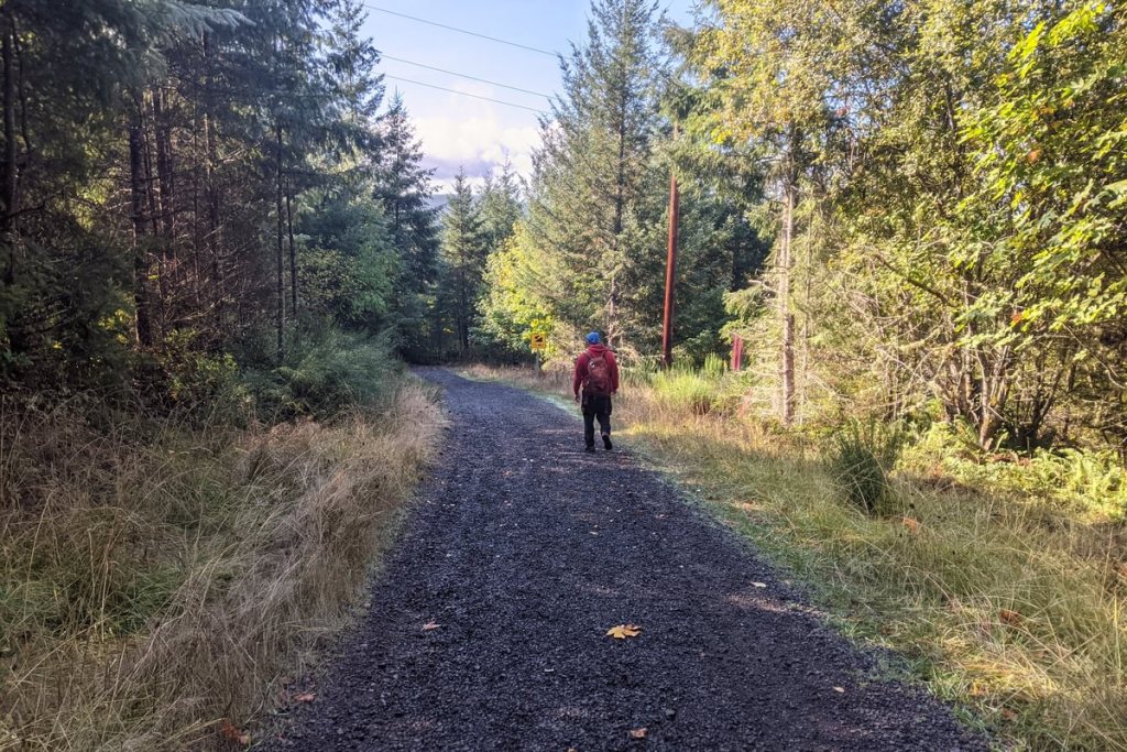
We launched from the long-established Wilark Trailhead. The route to Holce goes around the gate and over a placid Elk Creek.

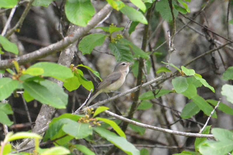
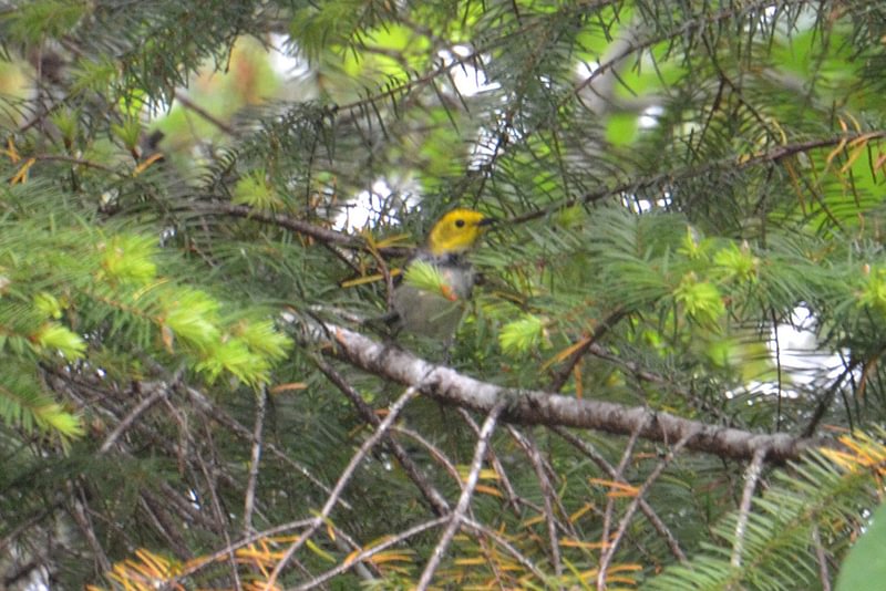
We didn’t see a ton of birds this time around, but in late spring and summer it’s a fantastic location for some of our rarely-seen forest songbirds, including Hermit Warbler and Warbling Vireo. There was a lot of elk, deer, and coyote sign, and I caught a Dusky Shrew in the same small clearing where I previously had seen a Deer Mouse.
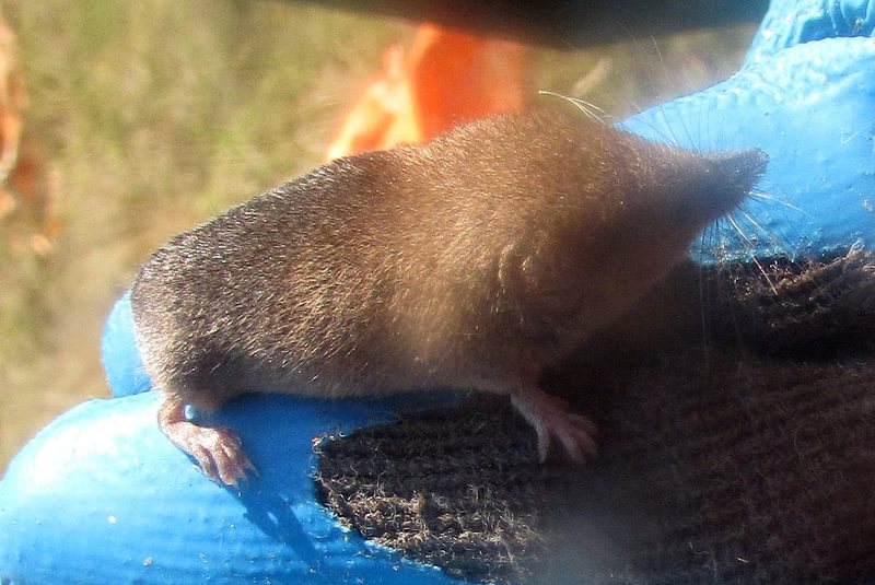
Dusky Shrew 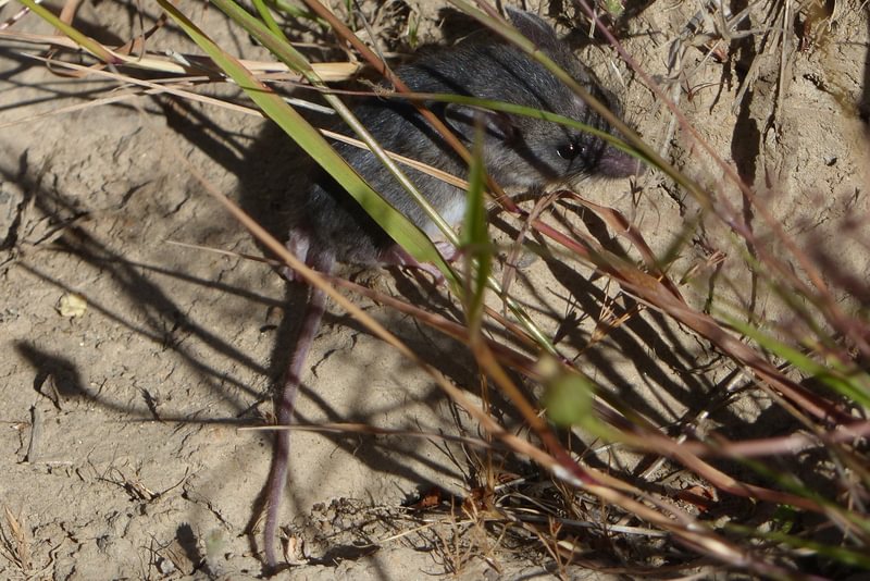
Deer Mouse
The trail starts basically flat for 300 yards and then begins a steady climb up one of the more substantial hills on the CZ, gaining 500 feet of elevation over the next mile. This entire stretch is well-forested and completely isolated from the highway or any other man-made structures. It’s not particularly exciting in terms of scenery, but if you’re looking for a quiet hike away from people it’s the best option on the entire Crown Z trail.
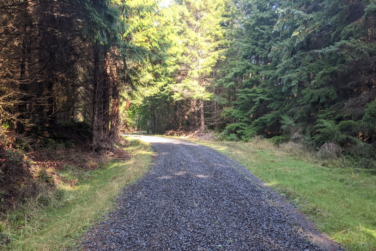
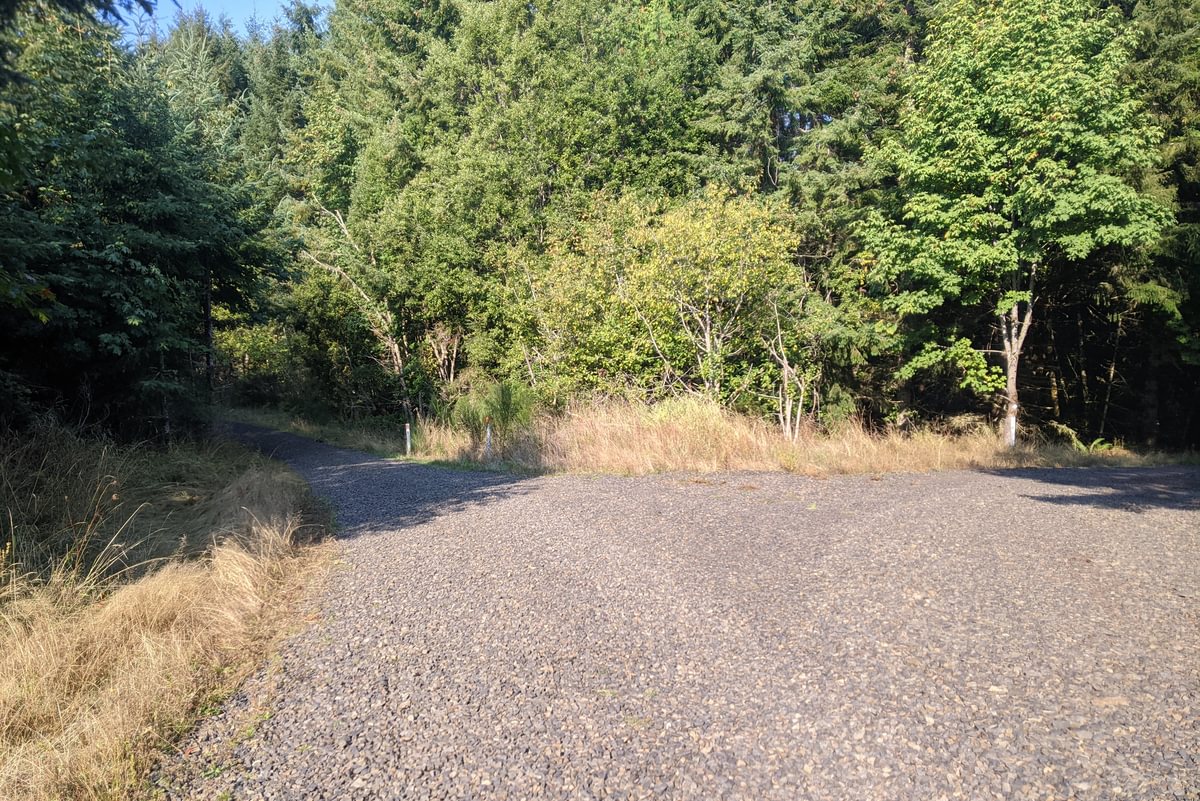
For approximately three-quarters of a mile we maintained this higher elevation. There are two logging road turnoffs onto Weyerhaeuser land during this stretch. In both cases the CZ Trail is clearly marked, but keep your eyes out so you don’t get lost!
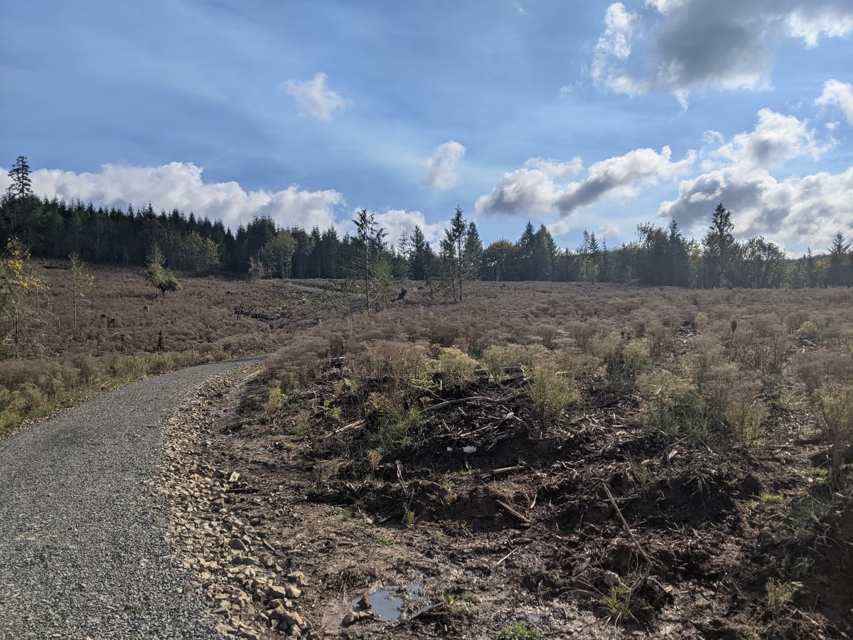
The final three-quarters of a mile to Holce Trailhead is a rapid descent of 400 feet back to the starting elevation. This is where you pass through the clearcut that delayed trail access for some time. Arriving at the Holce Trailhead puts you 2.6 hiking miles from where you started at Wilark, giving you a 5.2 mile round-trip total if you desire (which will start with a nice huff-and-puff up that hill you just came down).
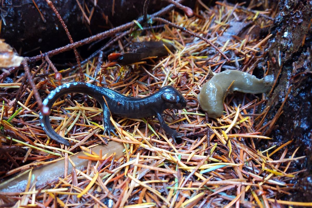
We’ve documented 10 species of reptiles and amphibians along this section of the trail, including five different kinds of salamander. The most interesting was this young subadult Northwestern Salamander eyeing a Pacific Banana Slug (his eyes might be bigger than his stomach) near the Holce Trailhead. You can see his body arching with white fluid beading on the tail. That is a defense response caused by me coming too close – the white fluid is poisonous and would sicken any predator who tried to eat him.
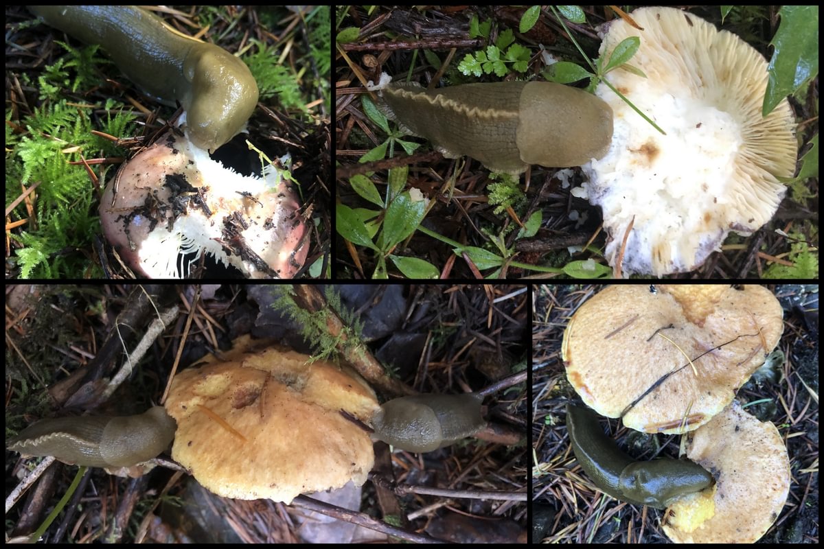
Speaking of banana slugs, a year ago Matt photographed a number of them feeding on mushrooms near the Wilark end of the trail. Slugs and snails are the butterflies of the fungus world – they eat the mushroom “fruiting bodies” and then defecate the spores across the forest floor, allowing new mushrooms to spread and grow. Banana slugs also eat dead plants, fallen leaves, and animal droppings, converting it all into rich forest soil.
A big thumbs up to Holce Trailhead and the newly passable final segment of the CZ Trail – vigorous climbs, quiet forests, and the life and death struggles of the banana slug.
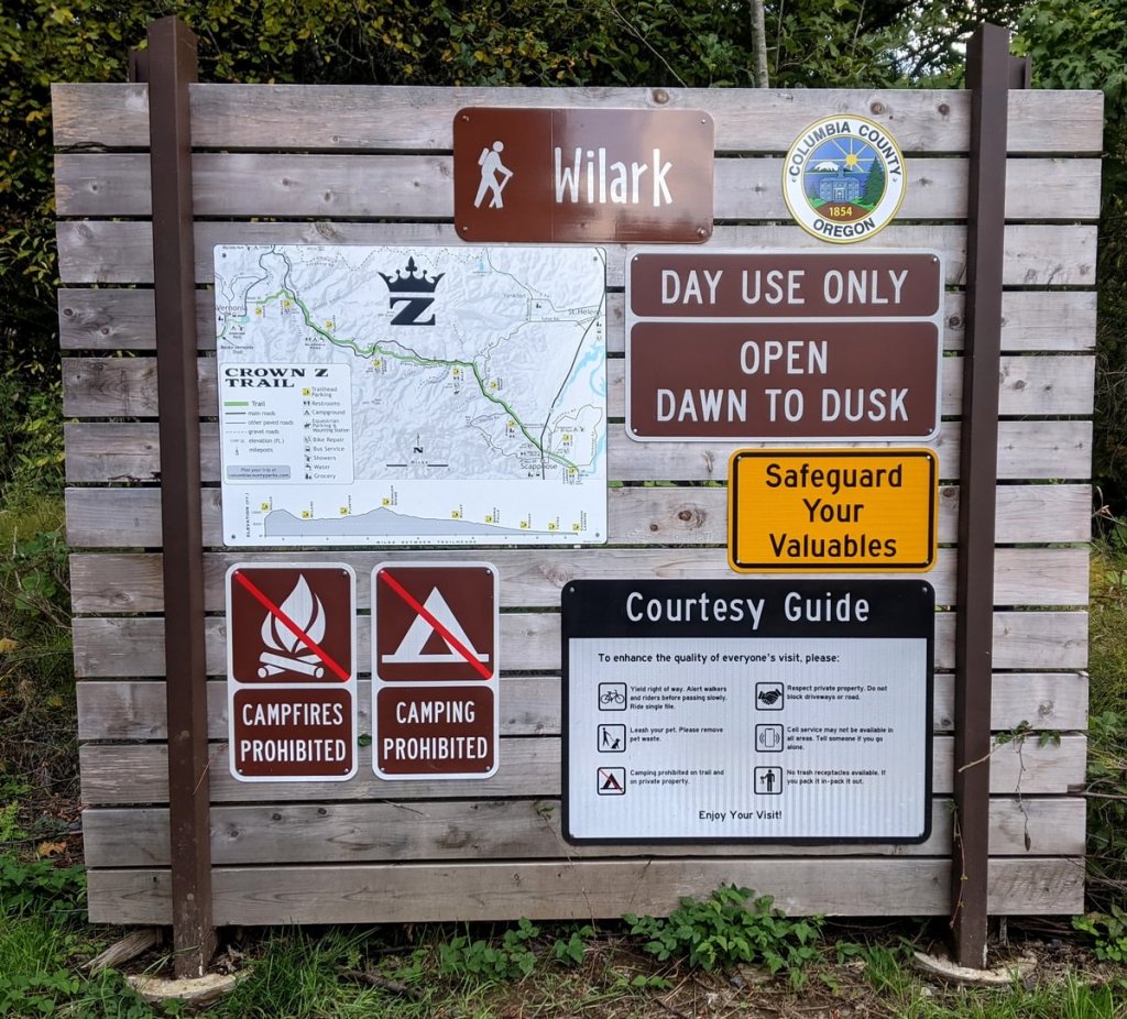
Wilark Trailhead to Holce Trailhead at a glance
What: hiking, wildlife viewing
Where: Wilark Trailhead (45.83151, -123.04645) is just off of Scappoose-Vernonia Highway 16.9 miles west of Hwy 30 or 3.1 miles east of Hwy 47. Holce Trailhead (45.86677, -123.16072) is at the end of E Knott Street, off Hwy 47 just 0.6 miles north of Vernonia.
Hiking: It is 2.6 miles to get from Wilark Trailhead to Holce Trailhead, with ~500 feet of elevation gain in a single climb each direction.
Camping: none
Notable Wildlife: Roosevelt Elk, forest songbirds, Pacific Banana Slugs
Property status: Columbia County Parks
Website: Crown Z Trail official site
Friends of CZ Linear Park Trail

I tried hiking from Wilark to Holce today and there’s active logging going on about 1.7 miles up from Wilark. They have the road/trail closed right now. Not sure how long it will be and they have signs posted all the way up.
LikeLiked by 1 person
Thank you for that information! I’m curious as to whether they’re only closing the trail on weekdays and still have access open on weekends, because I doubt the logging is along the trail itself, they’re probably closing it for truck access to one of their offshoot roads there.
I’m going to talk to some people and see if there’s any firm deadline for when that will stop happening.
LikeLike
Unfortunately, it was on the trail with no safe way around them. I had to turn around and go back down. The sign near the Wilark trailhead actually says it’s closed right now due to active logging on the trail. As for weekends, I’m not sure.
LikeLiked by 1 person
So I just spoke to someone and found that Weyerhaeuser will continue logging in that area, but their operations are restricted to fall/winter months so the trail will remain open every spring/summer. I just checked my records and the date Matt and I hiked it was October 11, a Monday, and there were zero signs of logging so apparently they had not yet started for the season at that time. Also, it may still be open on weekends now but that is not definite. Due to the trucks trail condition is currently poor, especially for bicycles.
LikeLike