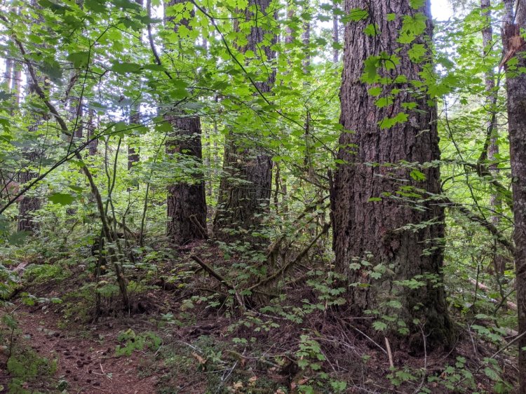
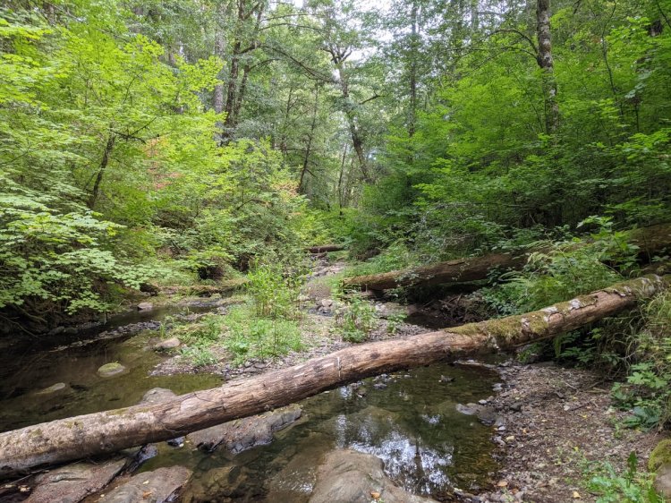

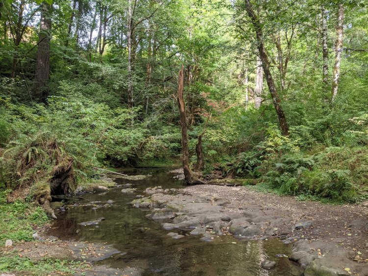
A short pleasant trail through state forest that gets you around big old trees and a pretty creek. Trail ends at “Four County Point”, the only place in Oregon where four counties meet in a single location.
Four County Point Trail at a glance
What: hiking, geographic landmark
Trip Reports: A pleasant little trail in the corner of the county
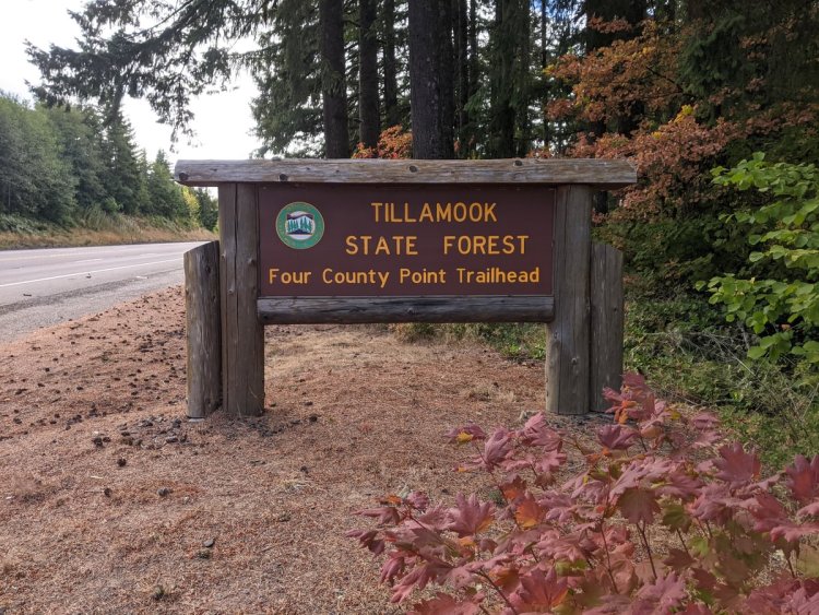
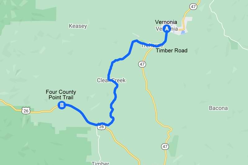
Where: From Vernonia drive 2 miles south on Highway 47 to Timber Road on the right. Take Timber Road 10 miles until it ends at Highway 26. Turn right and go 3.0 miles to reach your destination on the right side of the road.
If coming from Portland on Highway 26, the trail is 10.7 miles west of Highway 47.
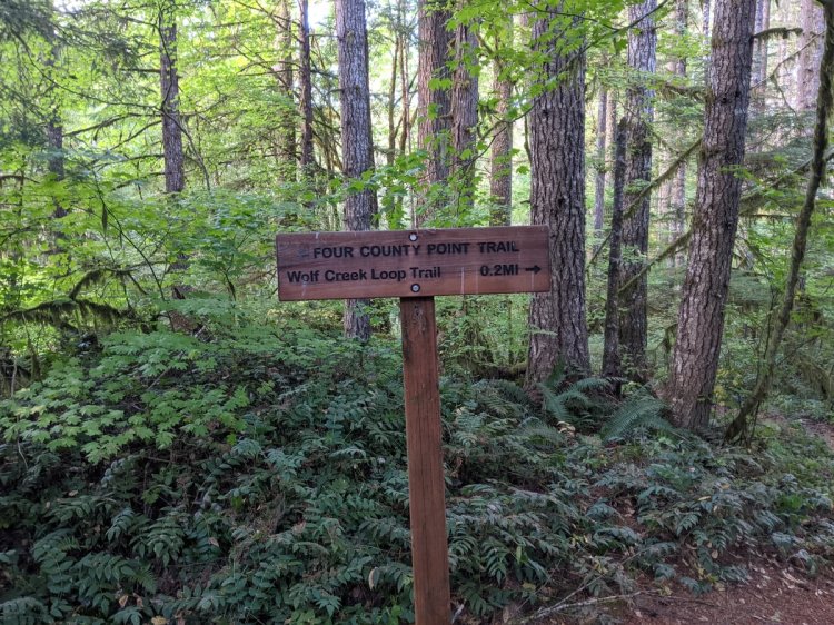
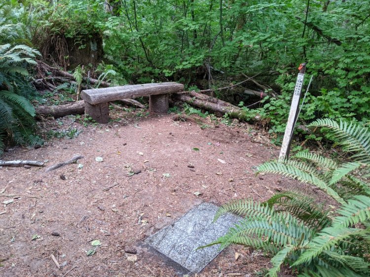
Hiking: 2.0 miles out-and-back in one direction and a short 0.2 mile loop in the other direction
Camping: none
Notable Wildlife: American Dipper, sculpins, stream amphibians
Property status: Tillamook State Forest
Website: Oregon Hikers: Four County Point Hike
Tillamook Forest Center: Four County Point
Forest Hiker: Four County Point Trail
