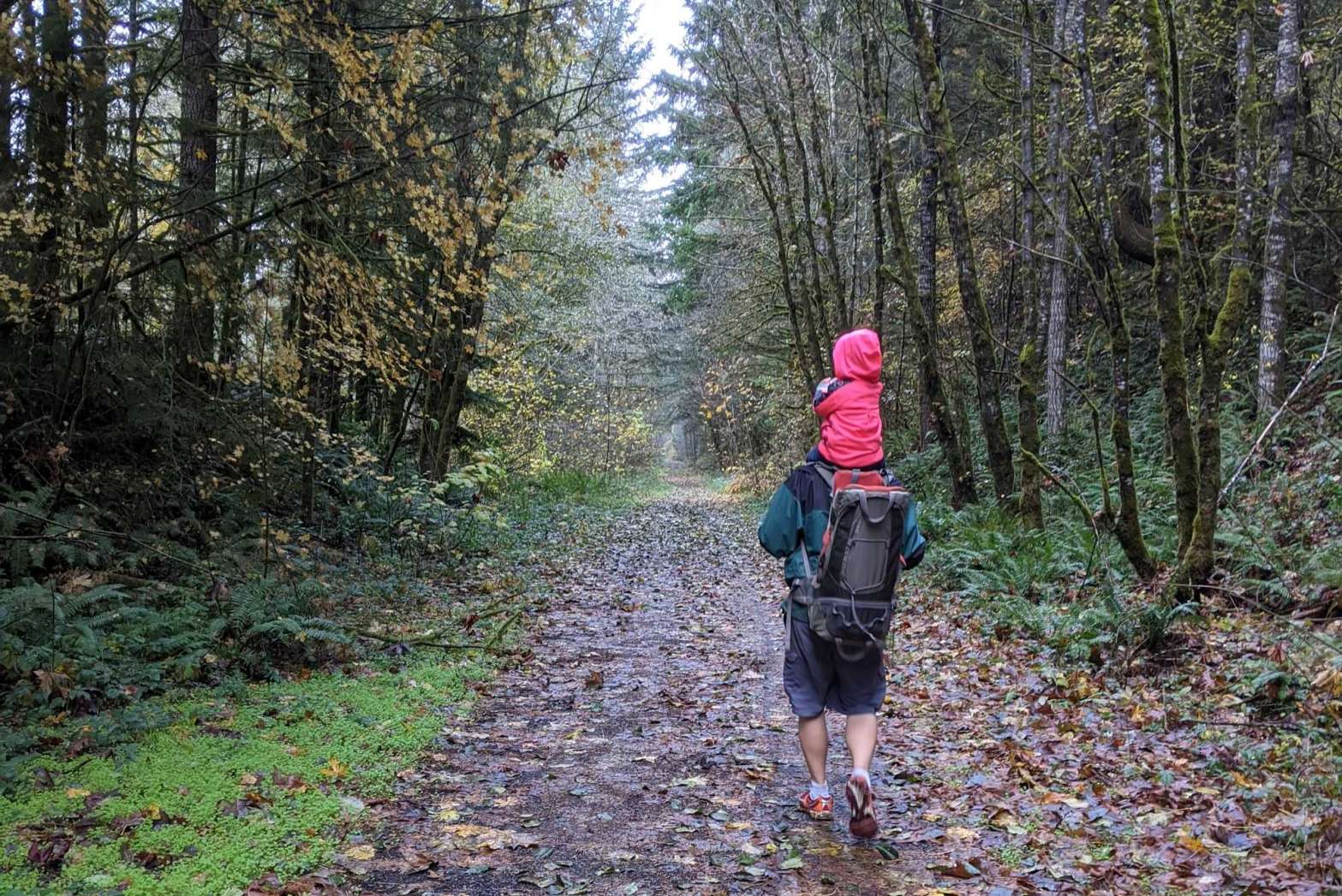
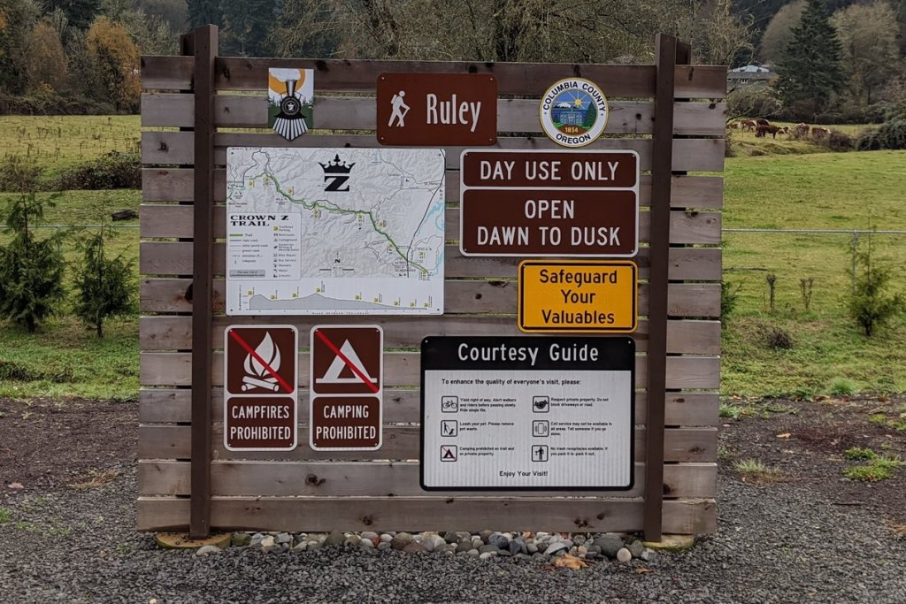
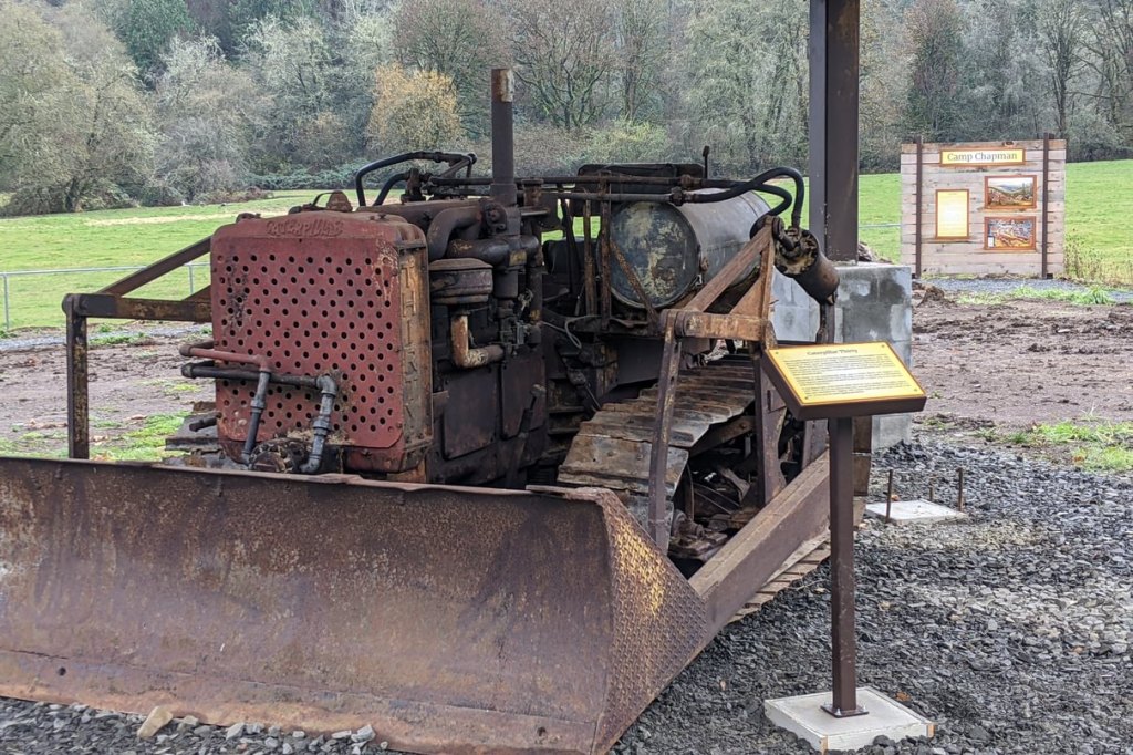
Rosey and I took little Sophia to the Ruley Trailhead for a 5-mile walk. The area has been transformed since the new trailhead was built, with restroom facilities, a bike-repair station, and both historical and natural history information. It’s a nice place to connect yourself to the history of the land and how it got to its present state.

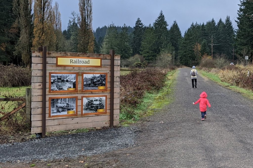
We headed west from the trailhead in the direction of Nehalem Divide, turning around after about 2.5 miles. Though the trail mostly follows the Scappoose-Vernonia Highway there isn’t a lot of traffic this far out and the walk was a quiet, pleasant one through fields and forest.
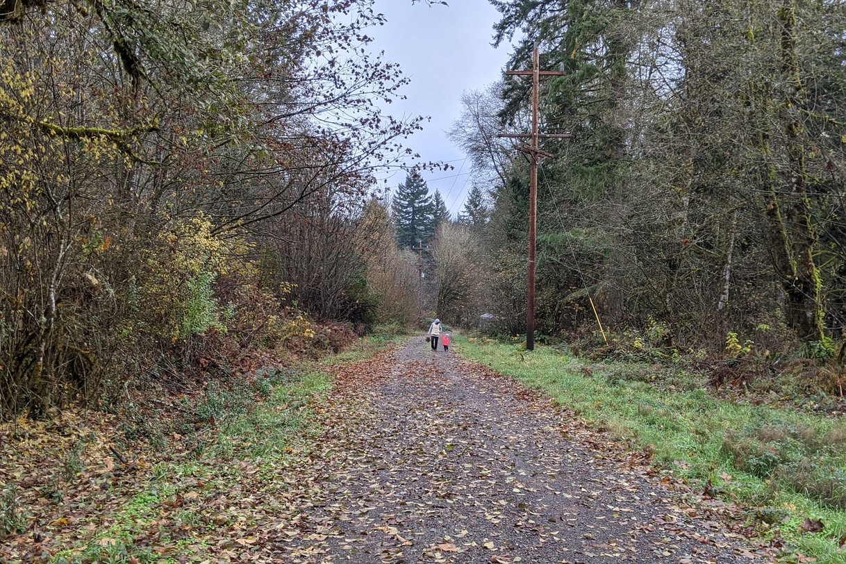

Unfortunately, little Sophie decided to take a nap halfway through and had to be carried on my chest for more than 3 miles!
Birdwatching was limited – I saw a Steller’s Jay and a Pacific Wren, and heard a woodpecker at one point, but there weren’t a lot of birds on the route. We did see three Townsend’s Chipmunks and two Douglas Squirrels.
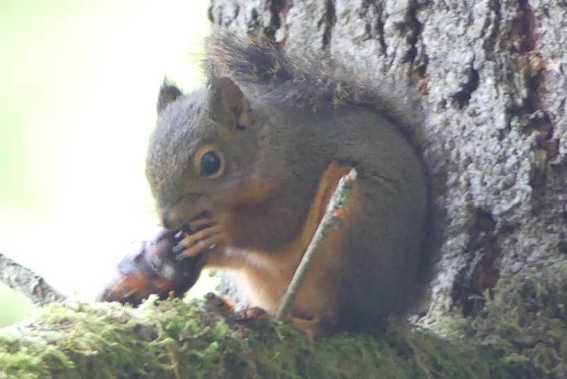
Douglas Squirrel 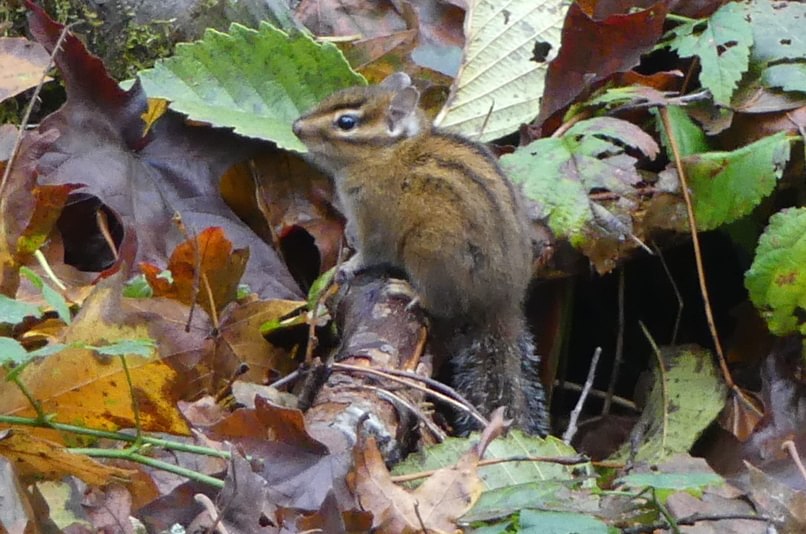
Townsend’s Chipmunk
Crawling things were also limited, perhaps because it had been cold recently, perhaps simply because this isn’t particularly good habitat for amphibians and such. I did spot a couple interesting mollusks.
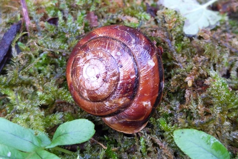
Pacific Sideband 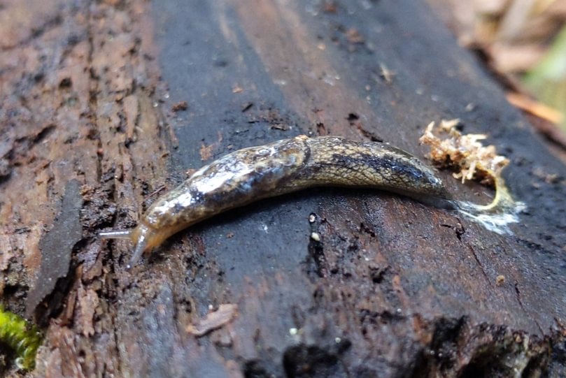
Scarletback Taildropper
For wildlife viewing this isn’t my favorite stretch of the Crown Z Trail, but for a nice walk in the outdoors it is more than sufficient.
Ruley Trailhead at a glance
What: hiking, wildlife viewing
Where: Ruley Trailhead (45.8250, -122.9665) is on Scappoose-Vernonia Highway 6.4 miles west of Hwy 30, on the left-hand side just past Hale Road.
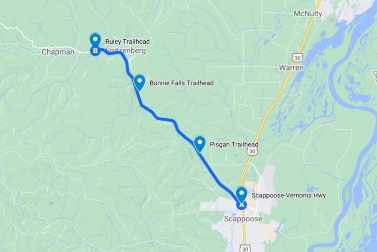
Hiking: 2.3 miles to get to Bonnie Falls Trailhead to the southeast or 4.4 miles to get to Nehalem Divide to the northwest. Part of the 22-mile long CZ Trail.
Camping: none
Notable Wildlife: chipmunks, tree squirrels
Property status: Columbia County Parks
Website: Crown Z Trail official site
Friends of CZ Linear Park Trail
