The Pisgah Trailhead of the Crown Z Trail might not have the marshes, birding, and wildlife of the trail to the east, or the forest solitude and geological wonders of the trail to the west, but….it’s there. So last year on the first day of spring, my family went on a walk from Pisgah to Scappoose and back.
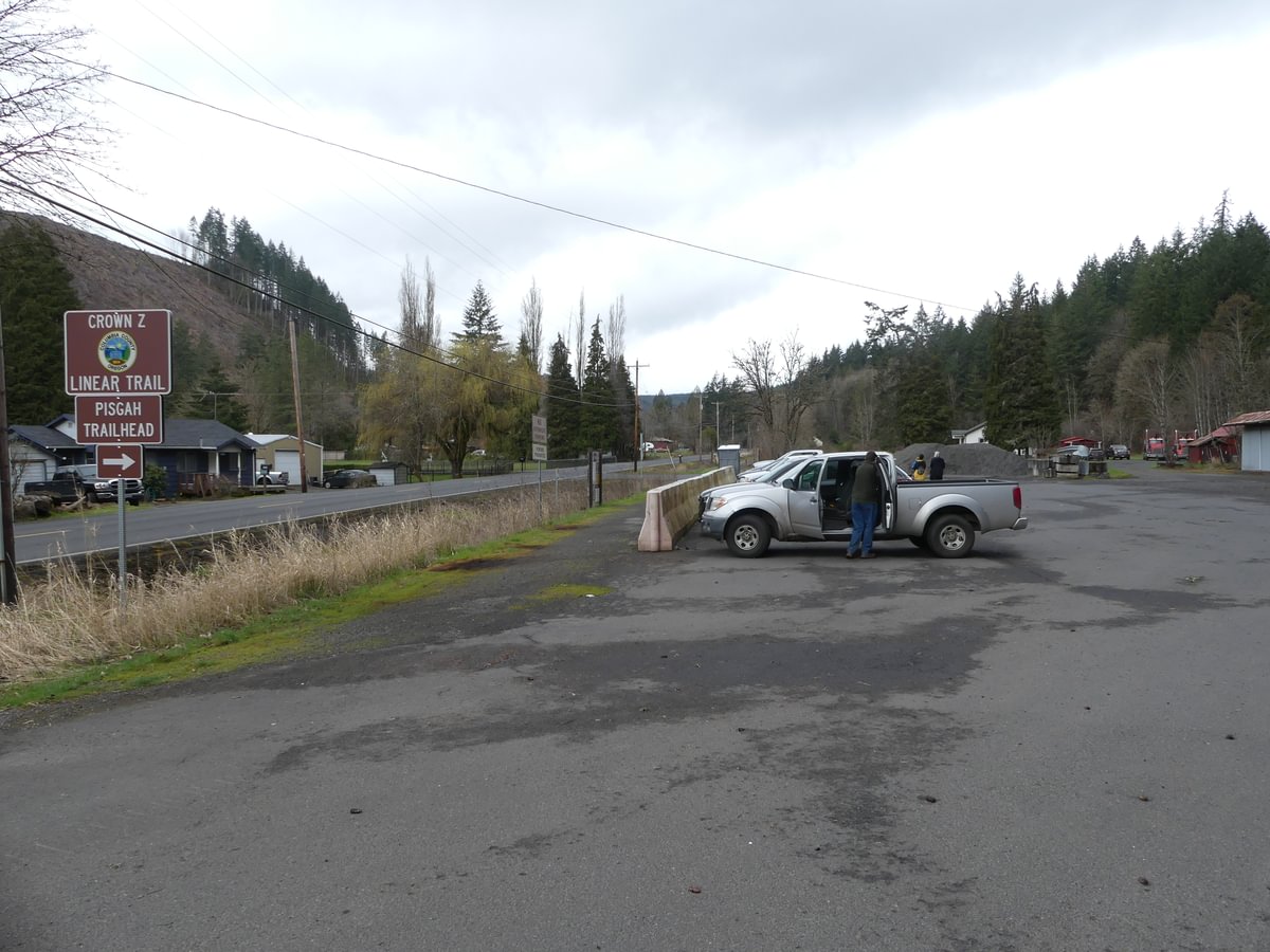
The parking lot for Pisgah is substantial.
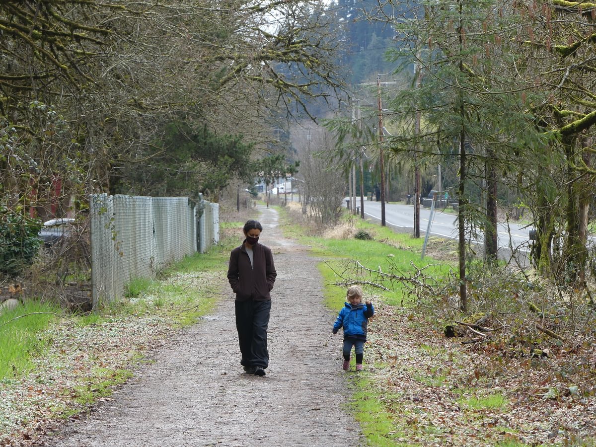
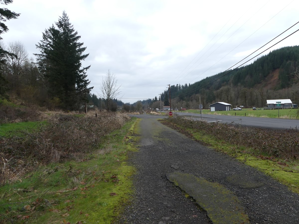
Usually if we start at Pisgah we would prefer to head west, the direction of the better forest and stream views. But just to be different we headed east towards town this time. Scenery is a bit more developed, but peaceful.
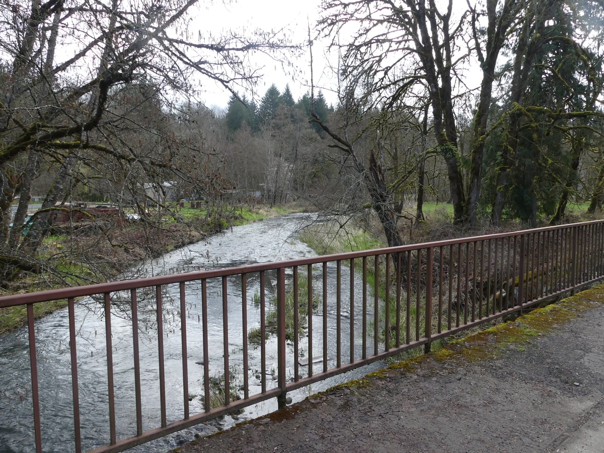
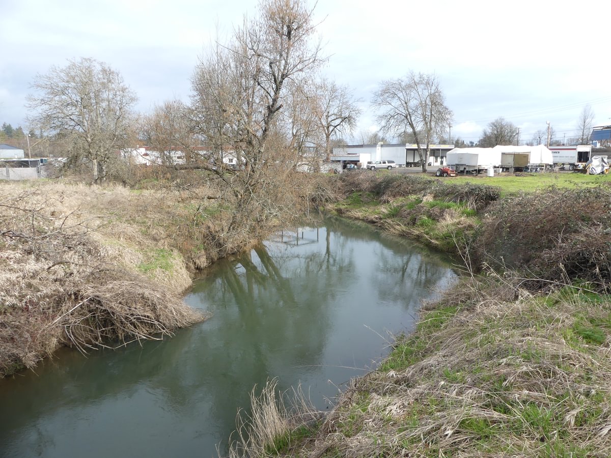
There are plenty of creek crossings, with North Scappoose Creek, South Scappoose Creek, and Alder Creek all crossing under the path.
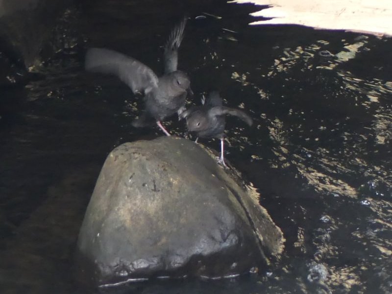
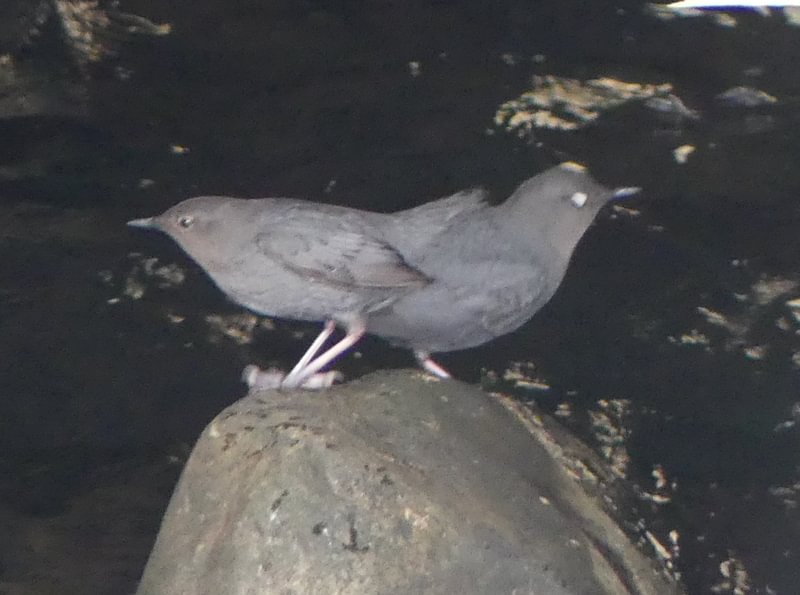
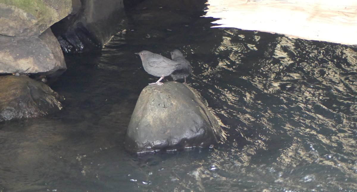
Near the turnaround we had the surprise of the day – a pair of American Dippers! These fascinating little birds tend to frequent more remote water bodies with rapids, so it was interesting to see them in water so close to town.
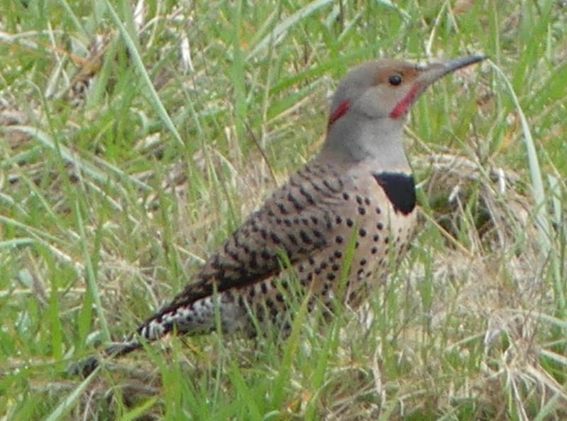
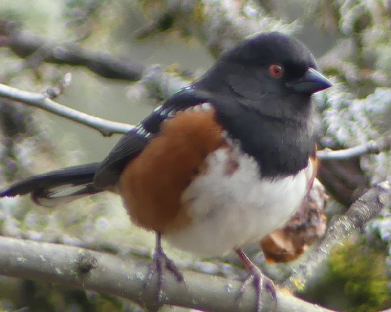
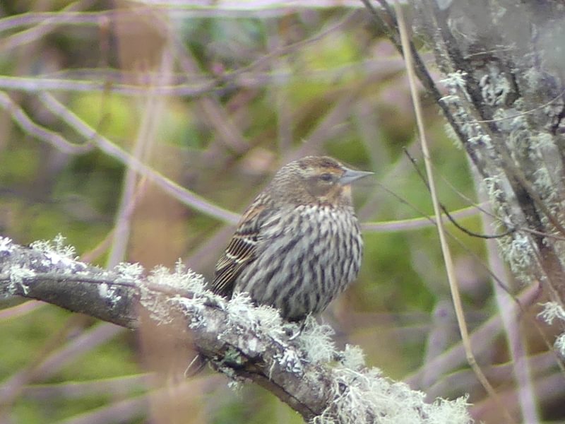
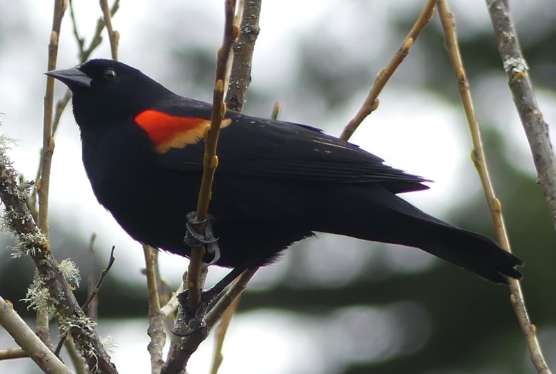
Other birds were around as well, though the species numbers were nowhere near what you see off of Trtek or Chapman Landing trailheads on the opposite side of Highway 30.

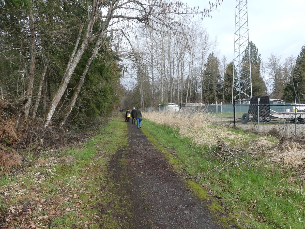
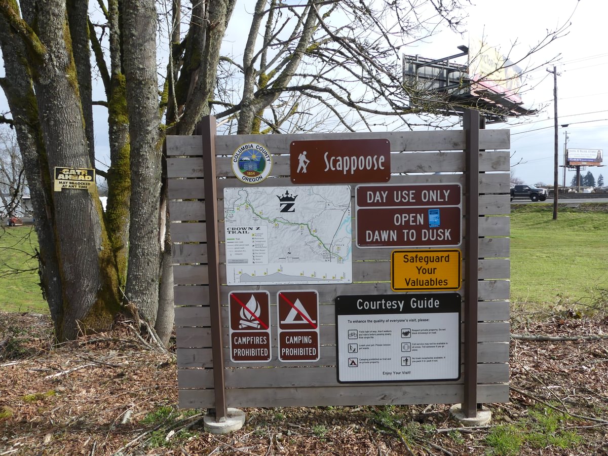
Just under two miles from our starting point, we reached the highway. There is a kiosk set up here, but no parking. It’s basically the starting point if you’re walking/bike riding the trail from town.

The return leg was as casual as the walk down. Just took our time, enjoying the breeze.
I’m having a hard time coming up with much to say about the Pisgah-to-Scappoose leg of the Crown Z Trail. But if you are in Scappoose and don’t have transportation to get any further out, it’s not a bad way to get a little exercise and fresh air.
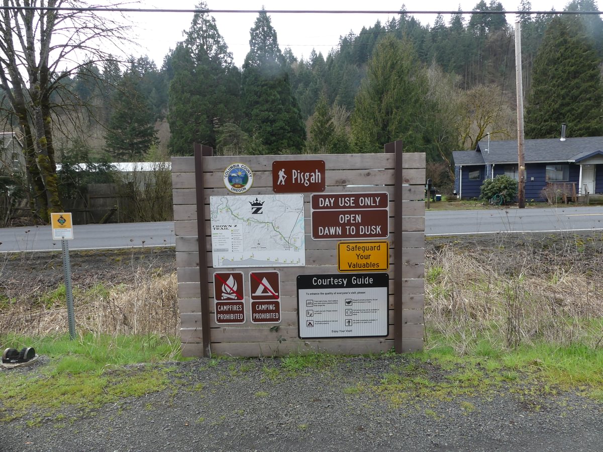
Pisgah Trailhead to Scappoose at a glance
What: hiking
Where: Pisgah Trailhead (45.7837, -122.9031) is on Scappoose-Vernonia Highway 1.7 miles west of Hwy 30, on the right just past Wikstrom Road.
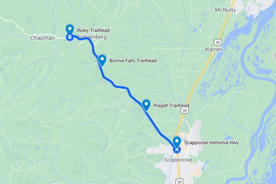
Hiking: 3.8 miles round trip from Pisgah Trailhead to Highway 30 and back.
Part of the 22-mile long CZ Trail, with another 2.6 miles to get from Pisgah Trailhead to Bonnie Falls Trailhead.
Camping: none
Notable Wildlife: common birds
Property status: Columbia County Parks
Website: Crown Z Trail official site
Friends of CZ Linear Park Trail

I love that I got this email! Thanks for the info and idea! I want more! What about dogs? And can your describe the experience of a walk at Ruley Park?
LikeLike
Dogs are welcome but they must be on a leash.
I did a post on Ruley last year. It’s a bit more wild, though still not the cool geology or deep forest that you can get from some of the other trailheads.
LikeLike