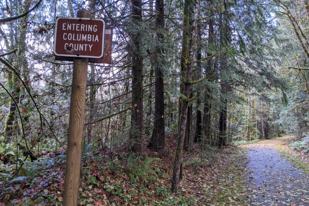
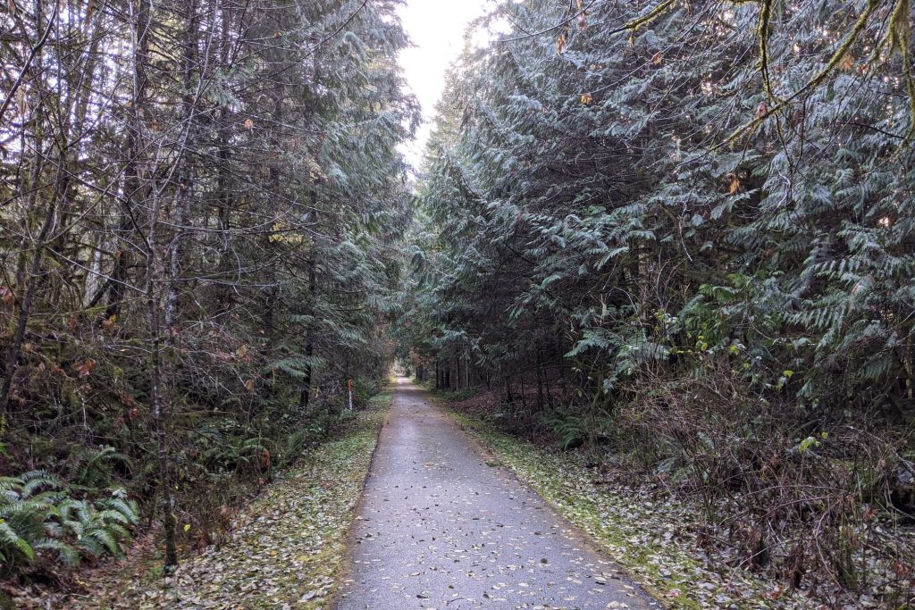
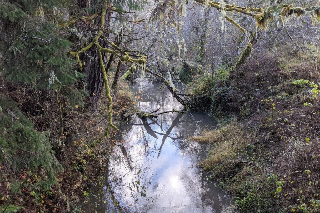
The Banks-Vernonia Trail is a paved walking, bicycling, and horseback trail that represents Oregon’s first Rails-to-Trails project. The northernmost two trailheads are within Columbia County, with the bulk of the trail then proceeding into Washington County.
Banks-Vernonia Trail at a glance
What: hiking, biking, horseback riding
Trip Reports: Loooong hike with Sophia on Banks-Vernonia Trail
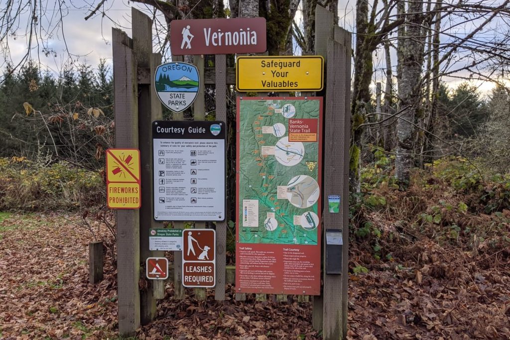
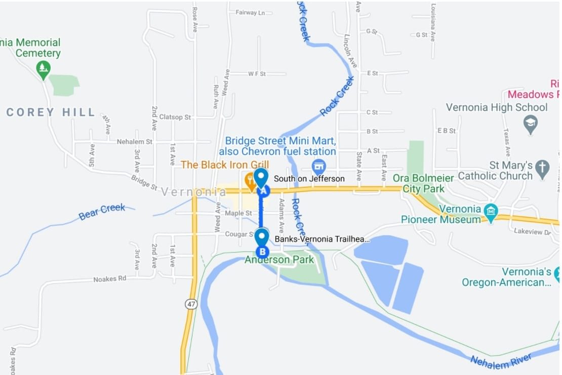
Where: Vernonia Trailhead (45.8558, -123.1920) is at Anderson Park in Vernonia. Turn south off Hwy 47 onto Jefferson Avenue in Vernonia and you’ll drive 0.5 miles straight into the park. You can also start at Vernonia Lake Park.
Beaver Creek Trailhead (45.8107, -123.2312) is off of Hwy 47 about 4.2 miles south of Vernonia or 10.3 miles north of Hwy 26.
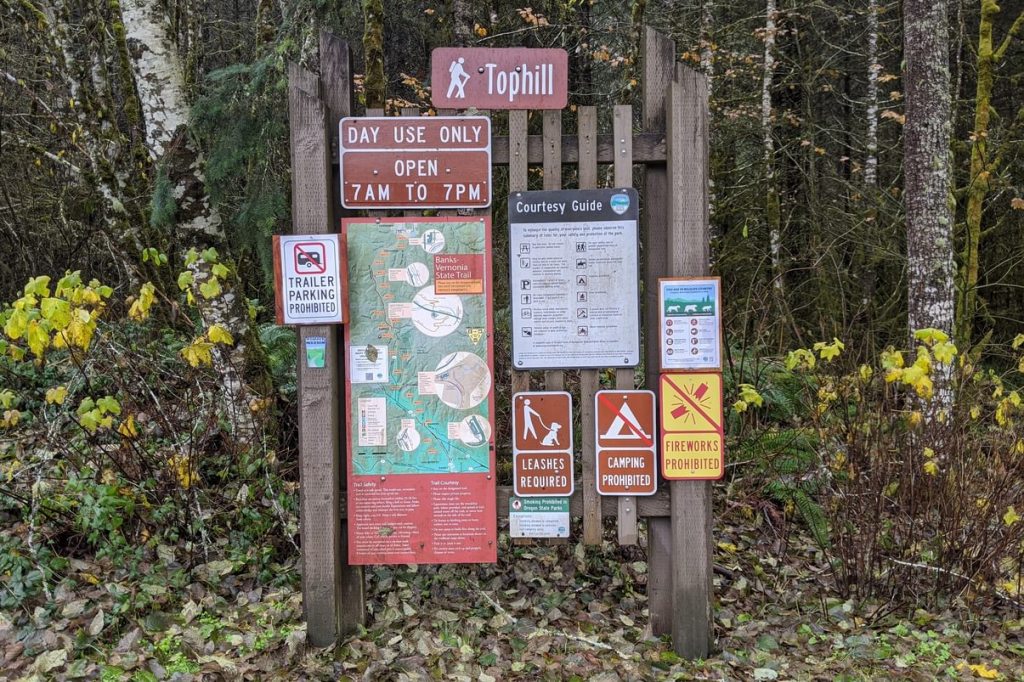
Tophill Trailhead (45.7584, -123.2015) is off of Hwy 47 about 8.3 miles south of Vernonia just before the Tophill Trestle, or 6.2 miles north of Hwy 26.
Hiking: 4.3 miles from Vernonia Trailhead to Beaver Creek Trailhead and 4.4 miles from Beaver Creek Trailhead to Tophill Trailhead. Part of the 21-mile long Banks-Vernonia State Trail. More detailed hiking information can be found at Oregon Hikers.
Camping: L.L. Stub Stewart State Park is 2 miles south of Tophill Trailhead on the Banks-Vernonia Trail and offers 91 RV sites (13 horse sites), 12 walk-in tent sites, 15 cabins, and a hike-in camp.
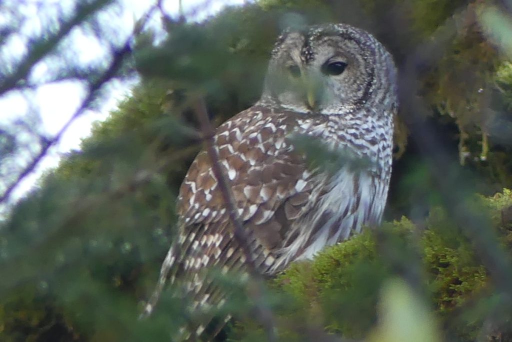
Notable Wildlife: Barred Owl, Pileated Woodpecker, Pacific-slope Flycatcher, kinglets, warblers
Property status: Oregon State Parks
Website: Oregon State Parks: Banks-Vernonia State Trail
Rails-to-Trails Conservancy
Go back to Find a Hike
