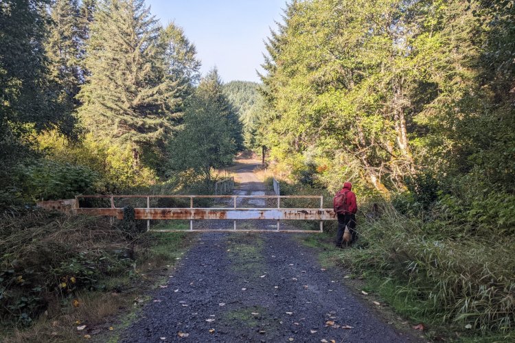
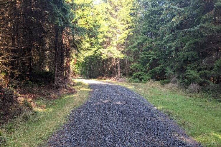
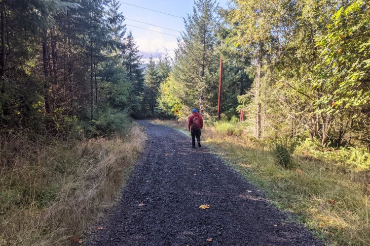
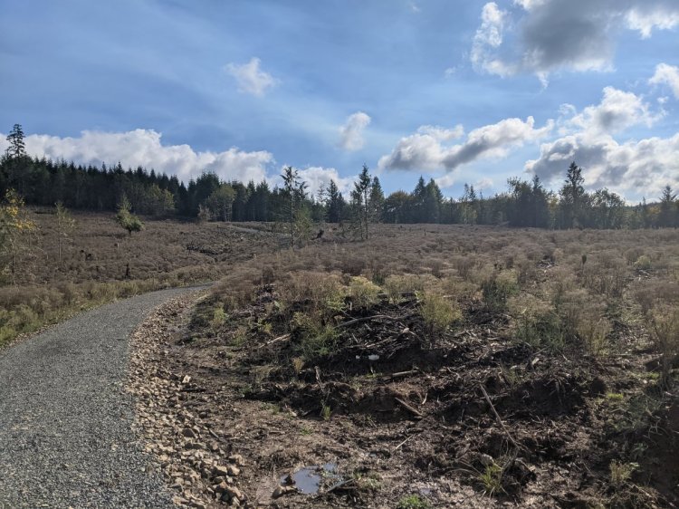
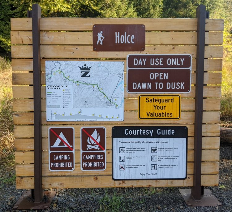
The Holce Trailhead to Wilark Trailhead segment is the quietest portion of the Crown Zellerbach (Crown Z) Trail and the only one that doesn’t roughly parallel Scappoose-Vernonia Highway. It passes almost entirely through hill forest, gaining approximately 500′ near the beginning of each end of the trail.
Holce Trailhead to Wilark Trailhead at a glance
What: hiking, wildlife viewing, birdwatching
Trip Reports: The Final Stretch of the CZ Trail
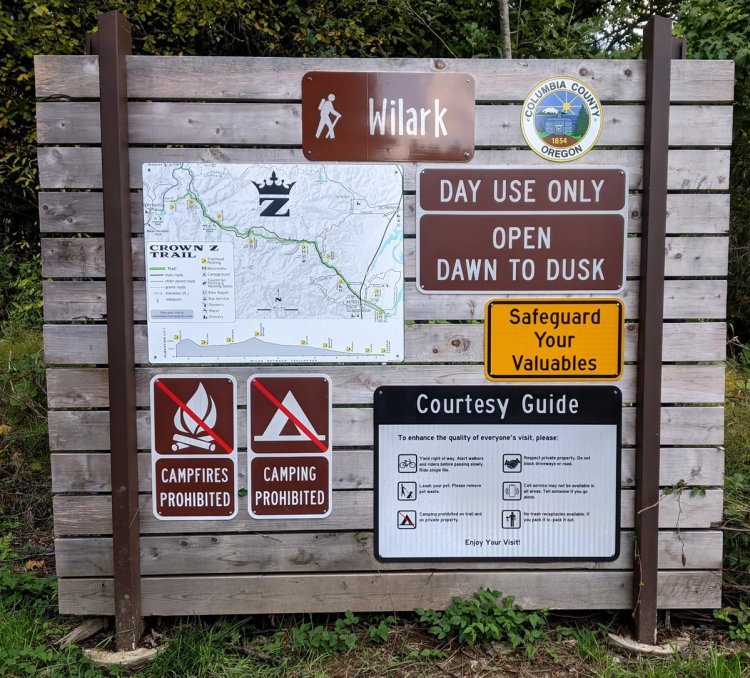
Where: Holce Trailhead (45.86677, -123.16072) is at the end of E Knott Street, off Hwy 47 just 0.6 miles north of Vernonia.
Wilark Trailhead (45.83151, -123.04645) is just off of Scappoose-Vernonia Highway 16.9 miles west of Hwy 30 in Scappoose or 3.1 miles east of Hwy 47 at Pittsburg.

Hiking: 5.2 miles round trip
Part of the 22-mile long CZ Trail, with another 2.5 miles southeast from Wilark Trailhead to reach Floater Trailhead. Approximately a mile of road walking from Holce Trailhead will get you to Vernonia Lake, from which you can walk the 21-mile Banks-Vernonia Trail.
Camping: None
Notable Wildlife: Roosevelt Elk, forest songbirds, Pacific Banana Slugs
Property status: Columbia County Parks
Website: Crown Z Trail official site
Friends of CZ Linear Park Trail
Go back to Find a Hike
