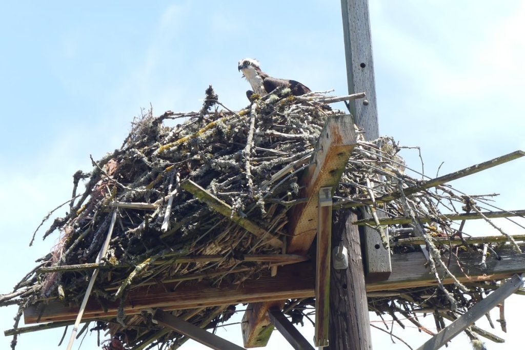
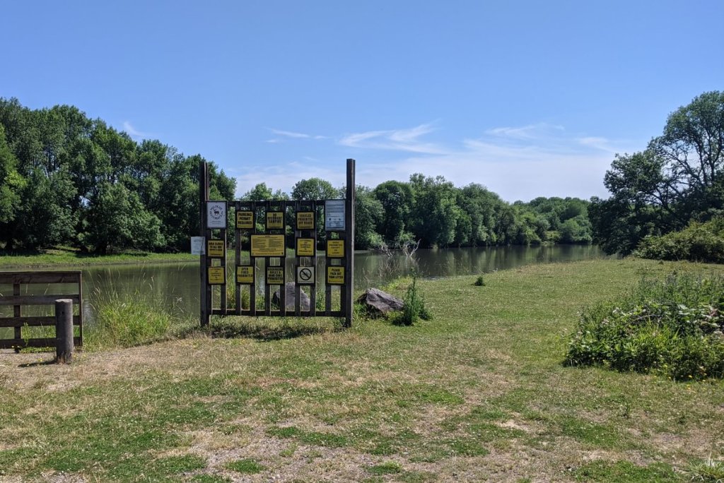
The western entrance to the 11,543 acre Sauvie Island Wildlife Area, it provides access to an array of trails and waterways with birdwatching, fishing, and waterfowl hunting. It is only open to non-hunters from April 16 to September 30. All visitors must have a $10 day-use permit which is good for all the Wildlife Area sections of the island (available at the Cracker Barrel Grocery just after the bridge).
Sauvie Island Westside Unit at a glance
What: hiking, birdwatching, fishing, hunting
Trip reports: Walking Sauvie Island’s westside
Where: From Highway 30, turn onto Sauvie Island Road to cross the Sauvie Island Bridge. Follow the road north 8.7 miles north to reach the Sauvie Island Wildlife Area (45.7348, -122.8425). From there the following destinations are possible:
C. 0.2 miles in is Steelman Lake (45.7363, -122.8388), with info kiosk and 0.5 miles of old road to walk along lakeside meadow
D. 0.8 miles in is Round Lake (45.7428, -122.8300), with a 3 mile loop trail (plus offshoots) that circles Mud Lake and then passes a fishing pier on Gilbert River before re-connecting to Sauvie Island Road. It’s not always possible to complete the loop during high water.
E. 1.5 miles in is the other end of the Mud Lake loop (45.7503, -122.8221). Turn right and go 0.7 miles to reach a small fishing pier on the Gilbert River (45.7433, -122.8154).
F. 2.2 miles in then turn right and proceed 0.7 miles to the Gilbert River (45.7545, -122.8091)


Hiking: Approximately five miles of trails and old roads around the lakes
Camping: none
Notable Wildlife: Waterfowl, wading birds, raptors, songbirds
Property status: State of Oregon: Sauvie Island Wildlife Area
Website: Sauvie Island Wildlife Area: Visitor’s Guide
Sauvie Island Wildlife Area: Westside Unit Map
Sauvie Island Community Association
Go back to Find a Hike


