Unfortunately this map is not useful. What does the blue line indicate? The green lines? The B, C, D, E, and F markers?? Good information on Sauvie Island is difficult to find. LikeLike Reply
You should be looking at this link for the entry on Sauvie Island. Blue line is the driving route I describe in the post and green lines are walking options. Sauvie Island Westside Unit Overview The page you’re looking at is just the map photo in isolation and is an odd relic of how wordpress stores images in certain settings. LikeLike Reply
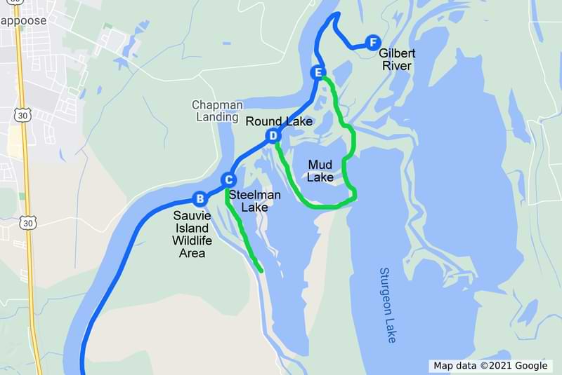

Unfortunately this map is not useful. What does the blue line indicate? The green lines? The B, C, D, E, and F markers??
Good information on Sauvie Island is difficult to find.
LikeLike
You should be looking at this link for the entry on Sauvie Island. Blue line is the driving route I describe in the post and green lines are walking options.
The page you’re looking at is just the map photo in isolation and is an odd relic of how wordpress stores images in certain settings.
LikeLike