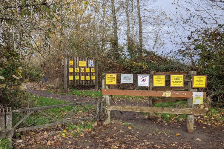
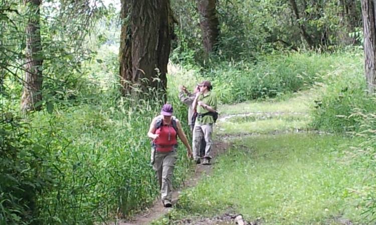
Warrior Point Trail is a 3.5-mile trail (7 miles out-and-back) along the northern edge of Sauvie Island. All visitors must have a $10 day-use permit which is good for all the Wildlife Area sections of the island (available at the Cracker Barrel Grocery just after the bridge).
Warrior Point Trail at a glance
What: hiking, birdwatching, berry picking
Trip Reports: Winter stroll at Sauvie Island
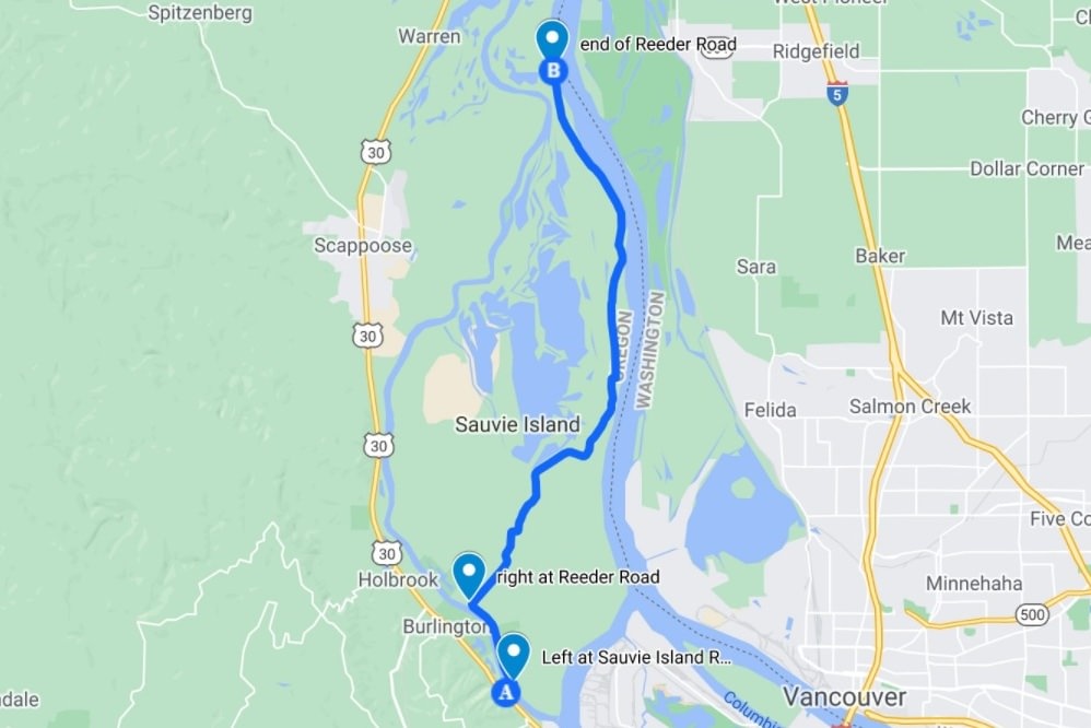
Where: From Highway 30, turn onto Sauvie Island Road to cross the Sauvie Island Bridge. Follow the road north two miles to turn right on Reeder Road. Stay on this road for 12.8 miles all the way to the end (the last 2.3 miles are gravel). Parking lot is at the end of the road at 45.8087, -122.7977.
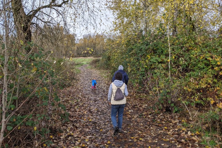
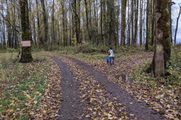
Hiking: 7 miles out-and-back. See more detailed hiking information here.
Camping: none
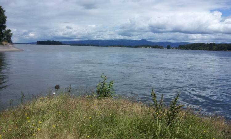
Notable Wildlife: sea lions, Bald Eagle, waterfowl, loons, grebes, wading birds, shorebirds, gulls, woodpeckers, song birds
Property status: State of Oregon: Sauvie Island Wildlife Area
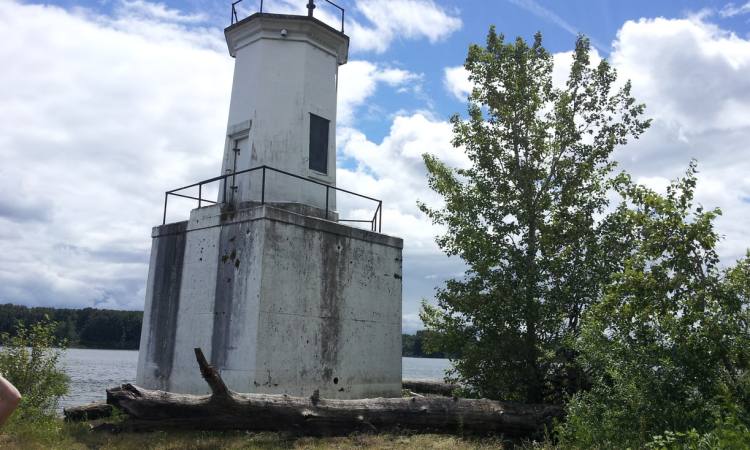
Website: Sauvie Island Community Association: Warrior Rock Lighthouse
Go back to Find a Hike
