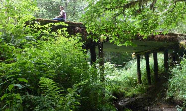
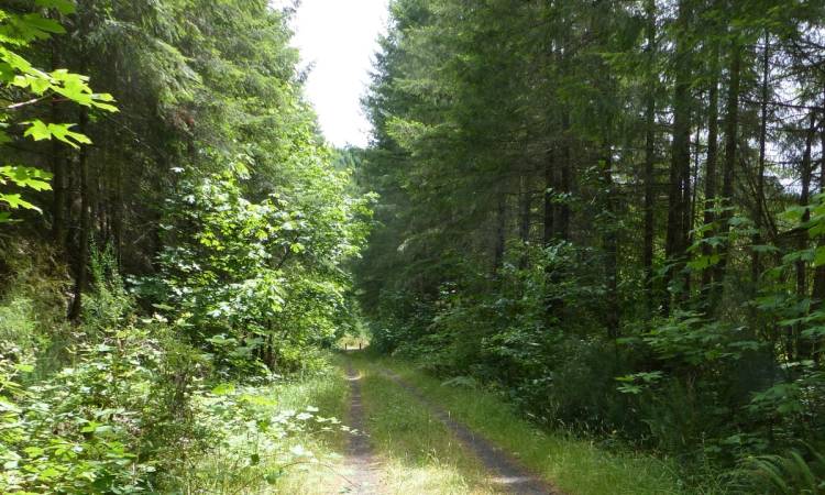
The Nehalem Divide to Wilark Trailhead segment is the most rugged and wild section of the Crown Zellerbach (Crown Z) Trail, passing almost entirely through hill forest with about 750 feet of elevation loss and multiple significant streams.
Nehalem Divide to Wilark Trailhead at a glance
What: hiking, streams, rivers, wildlife viewing, fishing
Trip Reports: Nehalem Divide on the CZ Trail
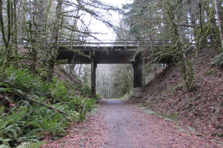
The Old Tunnel through Nehalem Divide
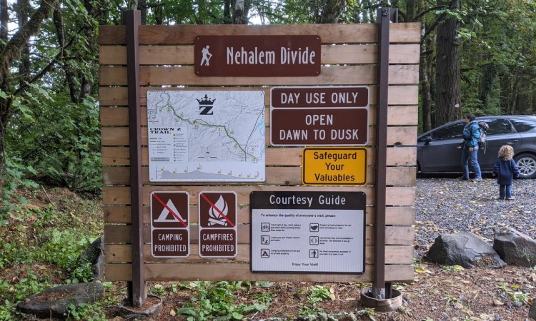
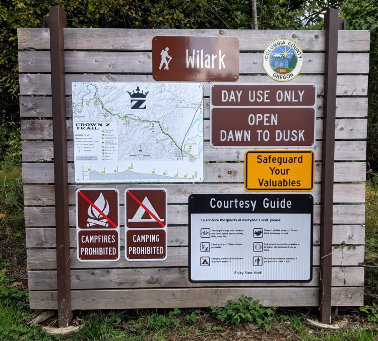
Where: Nehalem Divide (45.83151, -123.04645) is just off of Scappoose-Vernonia Highway 11.5 miles west of Hwy 30, on Pisgah Lookout Road.
Floeter Trailhead (45.8447, -123.0931) is 3.0 miles further west on Scappoose-Vernonia Highway at Hawkins Road, just before Scaponia Park.
Wilark Trailhead (45.8694, -123.1238) is 2.5 miles further down on the left-hand side of Scappoose-Vernonia Highway at Pebble Creek MnLn. (Or alternatively, from Pittsburg turn off Hwy 47 southeast onto Scappoose-Vernonia Hwy and go 3.1 miles.)
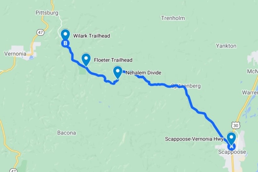
Hiking: 11 miles round trip, with 3.0 miles to get from Nehalem Divide to Floeter Trailhead and 2.5 miles to get from Floeter Trailhead to Wilark Trailhead.
Part of the 22-mile long CZ Trail, with another 2.6 miles west from Wilark Trailhead to reach the west end of the trail at Holce Trailhead in Vernonia or 4.4 miles east from Nehalem Divide to get to the next trailhead at Ruley.
Camping: Scaponia Park is just past Floeter Trailhead
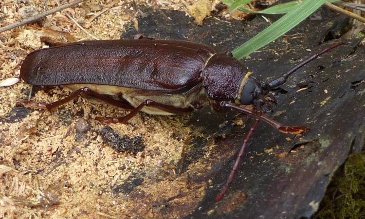
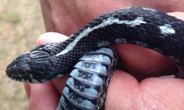
Notable Wildlife: songbirds, Northern Alligator Lizard, garter snakes, frogs, salamanders
Property status: Columbia County Parks
Website: Crown Z Trail official site
Friends of CZ Linear Park Trail
Go back to Find a Hike
