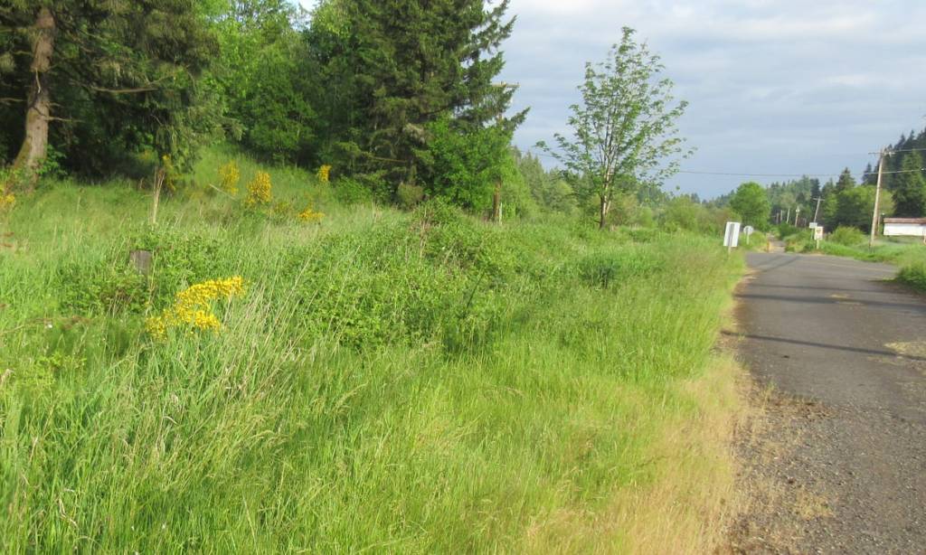
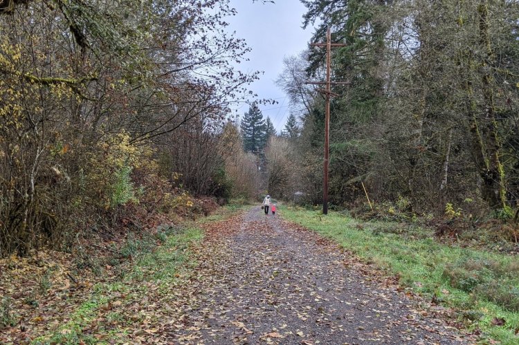
The Pisgah to Ruley segment of the Crown Zellerbach (Crown Z) Trail offers an casual walk through forest and meadow on a town’s edge, with birdwatching and wildlife viewing opportunities and a stream with fishing and a waterfall.
Pisgah Trailhead to Ruley Trailhead at a glance
What: hiking, birdwatching, wildlife viewing, fishing
Trip Reports: Cool Geology along Crown Zellerbach Trail
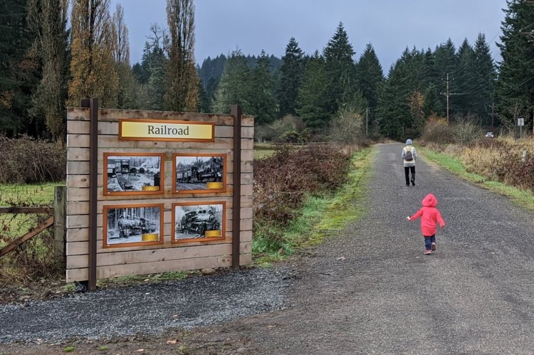
Family walk from Ruley Trailhead
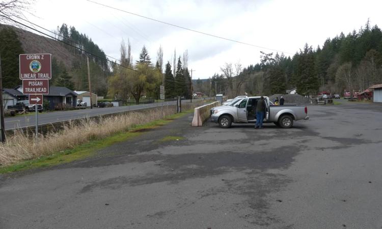
Where: Pisgah Trailhead (45.7837, -122.9031) is on Scappoose-Vernonia Highway 1.7 miles west of Hwy 30, on the right just past Wikstrom Road.
Bonnie Falls Trailhead (45.8086, -122.9380) is 2.6 miles further down on Walker Road on the right, just before it intersects Scappoose-Vernonia Highway.
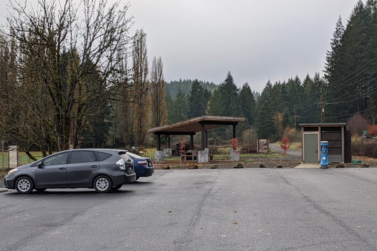
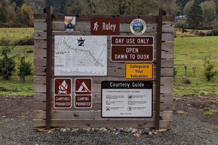
Ruley Trailhead (45.8250, -122.9665) is 2.1 miles further down on the left-hand side of Scappoose-Vernonia Highway just past Hale Road.
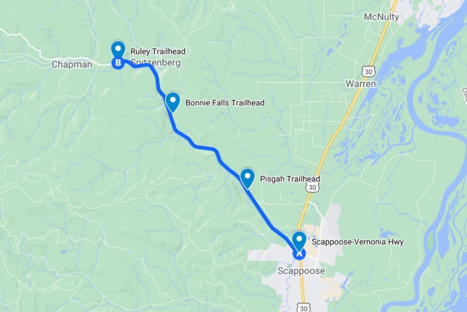
Hiking: 9.8 miles round trip, with 2.6 miles to get from Pisgah Trailhead to Bonnie Falls Trailhead and 2.3 miles to get from Bonnie Falls Trailhead to Ruley Trailhead.
Part of the 22-mile long CZ Trail, with another 1.9 miles southeast from Pisgah Trailhead to get to Highway 30 in Scappoose, or 4.4 miles west from Ruley Trailhead to get to the next trailhead at Nehalem Divide.
Camping: none
Notable Wildlife: American Dipper, salmon and trout, salamanders
Property status: Columbia County Parks
Website: Crown Z Trail official site
Friends of CZ Linear Park Trail
Go back to Find a Hike

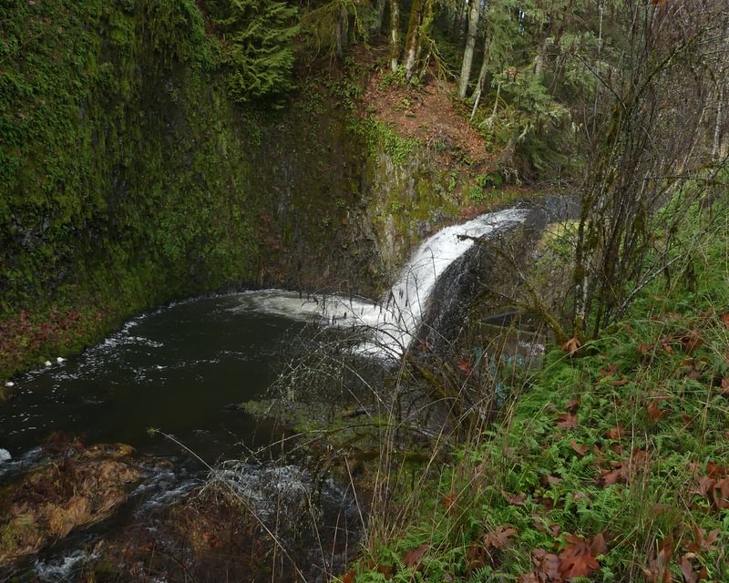
Where is Bonnie Falls ?
LikeLike
Bonnie Falls is off of the Scappoose-Vernonia Highway, about 300 yards before you reach Walker Road. There’s a turnoff on the side of the highway, or you can park at the CZ Trailhead on Walker Road (though the trail itself doesn’t go to the falls, you can only see the falls from the turnoff on the highway).
More information here: https://wildcolumbia.org/waterfalls-of-northwest-oregon/bonnie-falls/
LikeLike