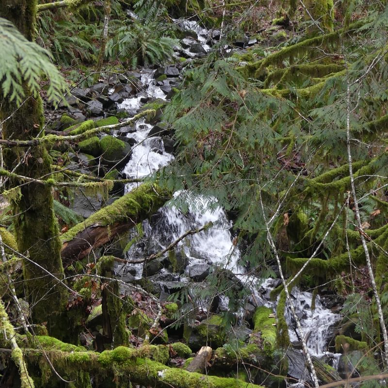
Note – the photos in the post may not be the original “Upper Scappoose Falls”. An old photo of the falls shows a very different picture. Since we could not find such a waterfall in the region, it’s possible that the original falls were destroyed during highway construction.
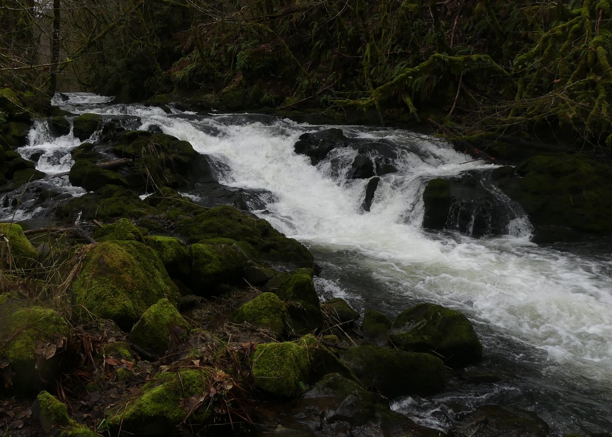
Height and type: 6-foot cascade falls
Water body: Scappoose Creek
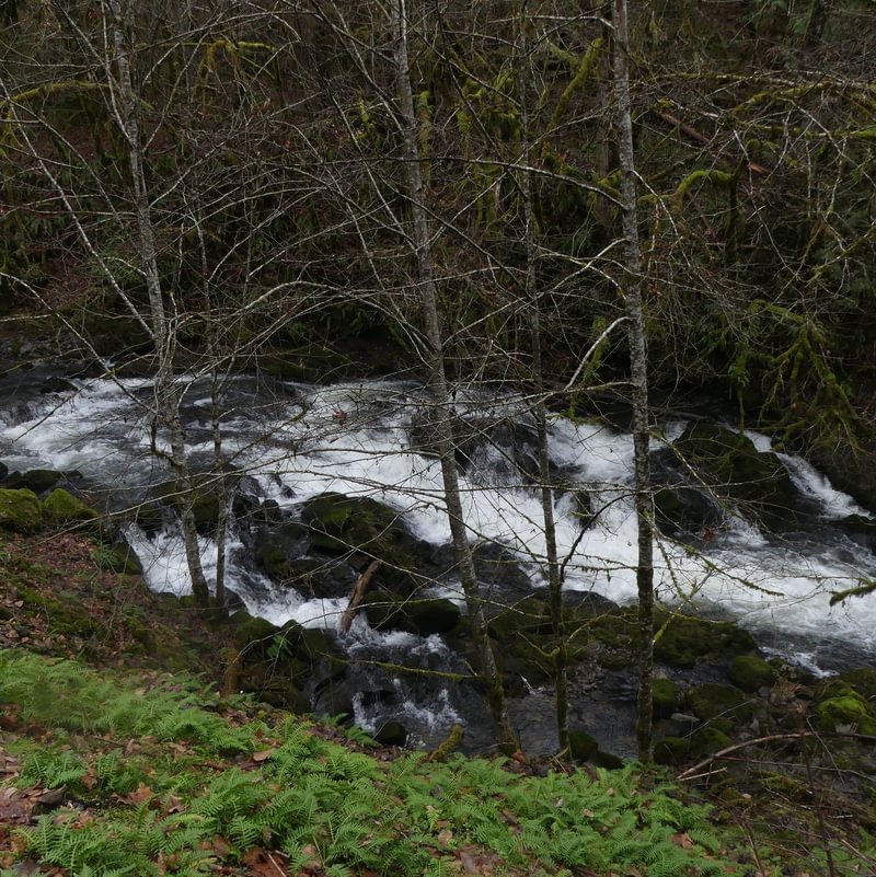
Access: Take Scappoose-Vernonia Highway until 0.4 miles north of Walker Road, where you can park on a dirt road on the south side of the highway next to an unnamed creek falls. The Upper Scappoose Falls are across the highway at about 45.812, -122.941. Look both ways before crossing!
Alternatively, park at Bonnie Falls Trailhead of the Crown Z Trail and walk 0.5 miles north to view the falls from above. Viewing through the trees is difficult from this side.
Property status: Falls are on private property but easily visible from highway right-of-way
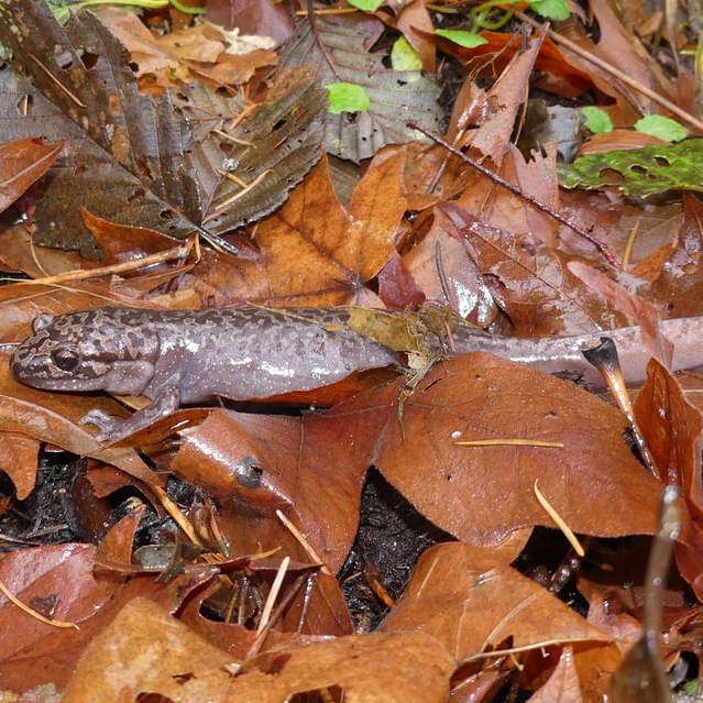
Notable Wildlife: belted kingfisher, American dipper, stream salamanders
Interesting History: The two waterfalls on Scappoose Creek were once called “Lower Scappoose Falls” and “Upper Scappoose Falls”. Lower Scappoose Falls was renamed “Bonnie Falls” and the upper falls have mostly been forgotten.
